
Since its introduction, Google Maps has become the most popular navigation app. It’s grown from a simple web mapping feature to a catalog of information on various subjects, ranging from travel and outdoor activities to nightlife, tourism, and festivities.
Today, Google Maps helps millions of people explore and discover their surroundings worldwide. It lets you explore new experiences, connecting with people, places, and spaces that interest you.
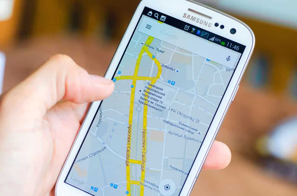
Take a look and discover how Google Maps use GPS to help you navigate your world.
Table of Contents
- What Is Google Maps?
- How Do Google Maps Work?
- How Does Google Maps Tell Your Location Data?
- How Do I Find GPS on Google Maps?
- Is GPS and Google Maps the Same?
- Google Maps or GPS: Which Is Better?
- FAQs
- Conclusion:
What Is Google Maps?
Google Maps is an online app that provides its users with navigational data. First launched in 2005, the web mapping platform got its first test run shortly after Hurricane Katrina, displaying satellite imagery of flooded areas in parts of the city. Over the years, Google Maps introduced more features like “My Location,” which incorporated and assisted GPS from mobile devices.
Google Maps is now the most popular navigation app used by Android and iOS devices worldwide. It’s also expanded its user interface, offering street-view images of specific locations and introducing speed traps and cameras.
Many drivers, hikers, cyclists, and travelers turn to Google Maps when looking for directions or landmarks in their area.

Cyclist man and woman
How Do Google Maps Work?
Google Maps use aerial and satellite imagery to draw accurate maps of the world. You get these maps through the web-based Google Maps app or browser. The app relies on GPS data to provide users with this information.
Moreover, it factors user input and real-time traffic data, giving precise and up-to-date information about directions and locations.
How Does Google Maps Tell Your Location Data?
Google Maps uses a database of known wireless networks and mobile cell towers to look up the location of the cell site.
Google Maps determines your current location by triangulating the different signal strengths from cell transmitters and then using their location data (taken from the database).
This combination of GPS data, mobile cell towers, and Wi-Fi makes the information so accurate that Google Maps knows your location up to 20 meters.
How Do I Find GPS on Google Maps?
On Android
- Open Google Maps.
- Navigate to the location you want to find the coordinates. It’s easier when you scroll and zoom in using your fingers.
- Tap and hold on to an unpinned location on the map. You’ll see a red pin on the spot and the decimal coordinates in the search bar.
- Press the search bar to copy these GPS coordinates to your clipboard.
On iPhone
- First, open the Google Maps app.
- Tap and hold on to an unmarked position on the map; a red pin should appear on the selected position.
- Where there’s a red pin, tap on it. Swipe up from the bottom of Google Maps to show the Latitude and Longitude of your selected location.
- Save the GPS coordinates to your clipboard by tapping on them.
Setting smartwatch with navigator app
Is GPS and Google Maps the Same?
GPS, or global positioning system, is a network of satellites orbiting the Earth, composed of three parts. The space segment of 24 satellites transmits location, position, and time data to the control segment. Here, the information goes through further analysis to ensure maximum accuracy.
The last part of the system, the user segment, is the device you use that’s equipped with GPS features. Phones, tablets, and hand-held GPS devices are some examples. Google Maps is one of many navigation apps that uses GPS for its maps and directions. It is not the same as GPS; however, it does work in conjunction with the app to provide accurate geographical and directional data.
Google Maps or GPS: Which Is Better?
GPS and Google Maps share similar uses as they complement each other instead of competing. Therefore, without GPS, there would be no Google Maps.
When it comes to accuracy on location, position, and time data, GPS clinches the top spot. But if you’re looking for a restaurant, nightclub, tourist spot, or hotel, then Google Maps is your best friend.
FAQs
- Does Google Maps Use GPS Satellite?
Google Maps doesn’t use satellite towers. Instead, your phone receives information on your position, which Google Maps uses to help you get your bearings.

Space satellites orbiting over Earth
- Why Do People Use Google Maps if GPS Exists?
Google Maps is much more convenient and easy for most people. It’s also more popular because it’s got unique spaces and accurate, regularly updated information, complete with reviews from people who’ve been there.
- Is Google Maps Satellite or Aerial?
Google Maps uses satellite imagery as well as Google Earth.
- Is Google Maps a GPS or GIS?
Unlike GIS, Google Maps only shows you what your naked eye can see on the surface. GIS maps have more detail, showing you everything above, below, and even historical information that can help people predict the future.
Conclusion:
Google Maps is, perhaps, the most useful navigational app to emerge in modern times. Just as maps and compasses ruled so much of the past, so did GPS and navigation apps like Google Maps.
With its incredible features, like a panoramic street view, which immerses you in the environment you’re looking for, there’s potential for virtual reality applications in the future.

A man experiencing virtual reality
Whether you’re using it on the highway or on a mountain trail to find a restaurant or a popular tourist spot, now you know how Google Maps works and how important GPS is to its functions.