
Have you ever wondered how those planes up in the sky know where they’re going? Well, wonder no more!
This blog post will discuss everything you need to know about flying GPS units.
We’ll cover what they are, how they work, and some of the best options on the market. So let’s get started!
Table of Contents
- What Is a Flying GPS Unit?
- How Does a Flying GPS Work?
- Best Flying GPS Options
- What To Look For in a Flying GPS
- FAQ
- Summary
What Is a Flying GPS Unit?
Aviation GPS must comply with stringent requirements such as shock resistance, vibration durability, electrical surge protection, interference prevention, readability consistency, and visibility optimization.
Similarly, rigorous expectations are also applicable to marine-based GPS systems.
How Does a Flying GPS Work?
For GPS receivers to accurately determine three-dimensional locations, they must receive signals from at least three satellites.
Once four satellite signals are received, it is possible to pinpoint a precise location and elevation free of multipath errors, tropospheric interference, or ionosphere disturbances.
Mobile aviation GPS systems depend on these processes rather than conventional approach techniques.
Best Flying GPS Options
Stratux

Key Features:
- Connectivity: Wi-Fi
- Map Type: North America
- Battery Life: 4 Hours
- Mounting Type: Suction Mount
- Display Type: LED
Crew Dog Electronics’ strong and efficient ADS-B receiver kit contains an EasyAcc 6000mAh battery pack, AHRS, fan controls, a suction mount, a strap, and an SD card converter.
It supports EFBs like ForeFlight Synthetic Vision. On 978 MHz and 1090 MHz frequencies, pilots can receive very reliable and accurate air-to-air traffic, data, and FIS-B meteorological conditions.
Stratux’s suction mount enables you to mount it on a window anywhere. Their 30-day return policy and technical support keep clients safe while flying.
Garmin Aera 660

Key Features:
- Connectivity: Wi-Fi
- Map Type: Satellite
- Battery Life: 4 Hours
- Mounting Type: Dashboard Mount
- Display Type: Touchscreen
The Garmin Aera 660 is the ideal unit for pilots, combining various avionic capabilities into one compact and lightweight device.
This reliable GPS/GLONASS navigator offers an intuitive 5-inch touchscreen display with interactive aviation maps which can be easily read in any environment.
With its fast satellite constellation acquisition rate, you’ll have access to advanced navigation tools at your fingertips no matter where your journey takes you!
Garmin Aera 796

Key Features:
- Connectivity: Wi-Fi
- Map Type: North America
- Battery Life: 4 Hours
- Mounting Type: Wrist Mount
- Display Type: Touchscreen
Transform your Class I or II electronic flight bag with the Garmin Aera 796, which comes pre-loaded with aircraft position overlaid on relevant charts.
Get more options for European and Canadian VFR/IFR charting as add-ons. Plus, pilots can use City Navigator maps to specify street addresses as waypoints or direct destinations!
D2 Air X10

Key Features:
- Connectivity: Bluetooth
- Map Type: Satellite
- Battery Life: 7 days
- Mounting Type: Wrist Mount
- Display Type: Touchscreen, AMOLED
This smartwatch features a bright and crisp AMOLED touchscreen display, allowing you to access aviation weather info like METARs and TAFs easily.
See wind speeds, visibility levels, and barometric pressure in no time. The worldwide aeronautical database allows you to navigate straight to any location or waypoint easily.
Plus, when paired with your compatible smartphone, you get even more detail, like runway orientation and airport frequencies.
What To Look For in a Flying GPS
Compatibility
Before purchasing a GPS unit, ensure it is compatible with other navigation tools and aircraft.
There are several varieties of IFR to handheld VFR receivers for you to choose from. To get the most out of your investment, research each option thoroughly.
As an added measure, use RAIM (Receiver Autonomous Integrity Monitoring), database currency, and antenna positioning in tandem with GPS to guarantee optimal navigation results.
Utilize all available resources rather than relying solely on GPS technology alone!
Features
When selecting a GPS receiver, consider your airplane capability, trip profile, and budget.
Certain units may include features such as satellite communication, traffic receivers, or both.
Plugin or Wireless
It is highly recommended that pilots use GPS devices in combination with their mobile phones or tablets.
Before deciding on a specific device, ensure that it is compatible with the OS of your phone/tablet and your aircraft’s electrical system.
Make sure that the GPS you are considering supports Bluetooth, wireless data transfer, and device synchronization too!
Battery Life
Before buying a GPS unit, ensure you understand the power source. While some are battery-operated, others require an aircraft connection for their energy supply.
Choose one with enough sustaining power to satisfy your trip’s requirements and needs.
Safety Features
In visual flight rules navigation, do not depend solely on GPS. Non-approved GPS does not comply with accuracy and integrity criteria.
Accuracy
Handheld GPS receivers offer reliable navigation for VFR pilots yet can sometimes experience momentary signal interruptions without prior notification.
Hence, installing the receiver in an aircraft should abide by 14 CFR Part 43 regulations.
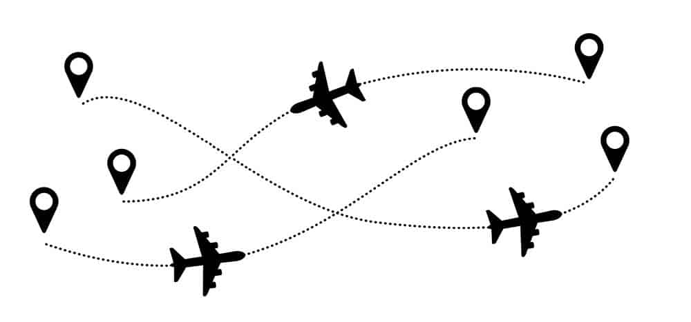
Tracking the path of an airplane
Ease of Use
Most GPS receivers are complicated. To reduce the time you spend looking down at the unit, learn keystrokes, knob functions, and displays.
Some companies provide computer tutorials or simulations to help you understand how to use the unit. Before using the unit in flight, make sure you thoroughly examine it.
FAQ
What is the iOS app Fly GPS?
If you’re an avid user of location-based apps like Pokemon Go, Fly GPS for iOS is the perfect app to maximize your gaming experience.
With its convenient spoofing feature, users can virtually teleport anywhere and explore locations they weren’t able to before!
This powerful tool also helps bypass augmented reality games’ restrictions to unlock new levels and content.
Is GPS available for planes?
Airplane GPS ensures your safe and precise journey, relying on satellite signals and the expertise of ground control staff.
It can supply 3D positioning during any stage in flight: departure, en route, or arrival, as well as for airport surface navigation.
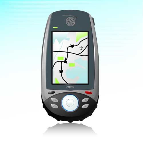
Handheld GPS
What GPS System Do Pilots Use?
Pilots must know the diverse GPS systems for journey navigation, such as full IFR, VFR-only in VFR/IFR aircraft, and handheld gadgets.
To ensure their safety during flights, they must understand the limitations of every system so that it is not misused or abused.
Is it possible to use a Garmin GPS in an airplane?
Garmin offers an extensive selection of GPS options to accommodate the demands of any aviation enthusiast.
It includes portable navigation devices, satellite communicators, and aviator watches.
Summary
With the market bursting with exciting GPS options, it’s easy to map out your ideal navigation system for the flight!
Consider what you need from a device and how that fits into where and how often you fly. With so many advanced choices available today, finding exactly what works best should be smooth sailing.