
Did you know that GPS technology has a wide range of uses? GPS can be very helpful in everyday life, from tracking your car to making sure you never get lost. In this blog, we’ll explore the multiple uses of GPS and why you should be familiar with it.
Table of Contents
- Main GPS Uses
- Uses of Global Positioning System Coordinates in Industry
- Unconventional Uses for GPS Technology
- Other Uses or Civilian Applications of GPS in Everyday Life
- The Future of GPS
- Summary
Main GPS Uses
Location
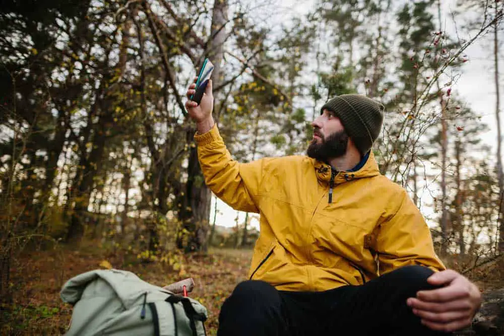
This use is particularly useful if traveling or heading to a remote area. You can easily pinpoint your exact location on a map with a GPS device or phone app. It can be great for avoiding getting lost and even for emergencies.
Accurate Navigation
GPS apps make it easy to get from point A to point B without having to guess where you’re going and without any random errors. Many regional navigation apps also provide information about traffic conditions and nearby points of interest to plan your journey better.
Tracking
You can track your vehicle’s movements by attaching a small device to your vehicle or another item. It is especially helpful for law enforcement agencies that rely on transportation services, such as trucking companies.
Mapping
Have you ever wanted to create your custom map? With the help of a GPS device or app, this task is easier than ever! You can draw detailed maps showing roads, points of interest, and more by inputting certain coordinates into the app.
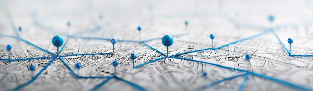
Receiver location marking with a pin on a map
Timing
Finally, one lesser-known use of GPS technology is accurate timing measurement. Certain sports activities need precise time measurements when it comes to timing performances.
Athletes use tracker devices with special programs to measure their performance time without relying on complicated stopwatches limiting any error sources.
Uses of Global Positioning System Coordinates in Industry
Agriculture
We can use GPS technology in various ways to improve agricultural practices. For example, farmers can use GPS coordinates to map their land, track their livestock, and even optimize their irrigation systems. It means they can avoid residual errors, maximizing their yields while using fewer resources.
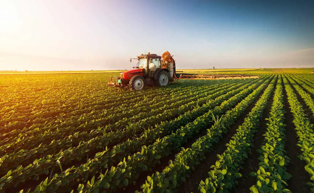
Tractor spraying pesticides on soybean field
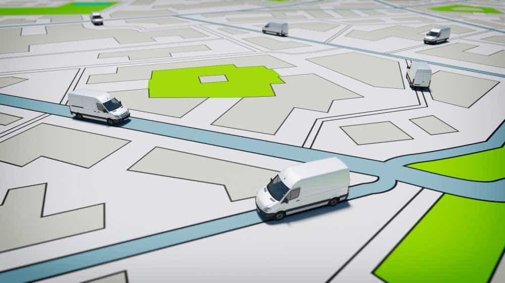
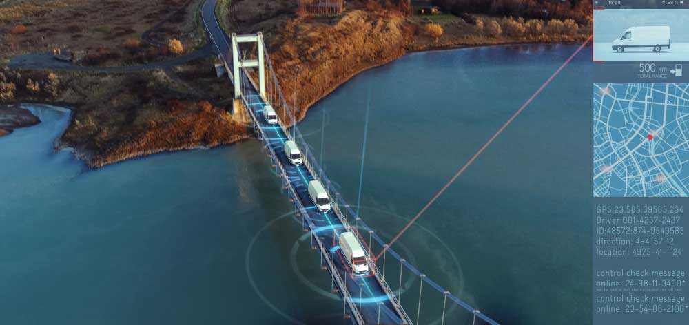
Logistics Management
GPS coordinates are also essential for managing logistics operations. Companies need to know where their goods are at all times and where they’re headed next. With GPS real-time data, firms can create efficient routes for delivery vehicles and track shipments’ arrival times to deliver goods quickly.
Rental Management
GPS tracking is also useful for companies that rent out equipment or vehicles. By keeping track of those assets with GPS technology, businesses can ensure that customers return them on time. Therefore, it is easier for companies to manage their rental fleets and helps protect against theft or misuse of rental items.
Equipment Protection
GPS technology also protects expensive civilian user equipment against theft or damage. By attaching tracking devices to these items, businesses can monitor them and alert authorities if anything goes wrong.
Food Truck Protection
Food truck owners often have difficulty keeping track of their vehicles due to the nature of their business – constantly being on the go. Fortunately, food truck owners can use GPS tracking devices on their trucks to know exactly where it is and receive alerts if someone tries to tamper with them.

Food Truck Has Burgers and Drinks for Sale
Golf Course Maintenance
Golf courses often use GPS technology for maintenance purposes, such as mowing patterns to keep them looking pristine year-round. It also helps staff find lost balls more easily, so golfers aren’t stuck searching for hours around the course.

A united states golfer putting a golf ball on the green golf
Unconventional Uses for GPS Technology
Preventing Shark Attacks
While it may sound like something from a science-fiction movie, scientists have begun using GPS to track sharks. GPS warns beachgoers when they enter an area with a high concentration of sharks. By attaching tags to sharks’ dorsal fins, researchers can track the movements of these predators with remarkable accuracy. This technology will alert swimmers when sharks come too close.

Shark warning sign on the beach
Tracking Stolen Prescription Drugs
Thanks to GPS technology, law enforcement agencies can now easily keep tabs on those stolen goods. Many pharmacies now install RFID tags on their products that allow authorities to pinpoint the location of any stolen drugs almost immediately after they go missing.
Feel an Earthquake
If you live in an area prone to earthquakes, you may consider investing in a handheld GPS receiver. Connecting your device to a seismometer allows you to track seismic activity in real time and even predict when the next earthquake is likely to occur!
Monitor a Volcano
Scientists have found another use for handheld GPS receivers. We can use them as part of an early warning system to detect volcanic eruptions before they happen! Researchers can measure its movements over time by placing several receivers around a volcano and predict when it’s likely to erupt!

Eruption of Anak Krakatau Volcanoes
Probe the Snow
Believe it or not, some extreme athletes use handheld GPS devices when skiing or snowboarding down steep slopes! Attaching their receivers to their skis or snowboards allows these daredevils to measure their speed and trajectory as they carve up the mountain. This technique allows them to push themselves further than ever before!
Since a Sinking
We use GPS in many ways in the shipping industry, but one of its most impressive uses is detecting when ships are sinking. Sensors on the ships measure their vertical movement relative to the ocean floor. If the ship begins to sink too quickly, the system will alert authorities so they can take action to save lives.
Analyze the Atmosphere
Satellite signals aren’t just for navigation; we can also study the atmosphere. By measuring how much time it takes for a signal from a satellite to reach earth, scientists can measure the density of particles in the atmosphere. They use this information to study climate change or track air pollution levels over time.
Guiding Driverless Cars
Driverless cars rely heavily on GPS technology for navigation. Such cars need to know exactly where they are to make accurate time decisions about where they should go. Without precise GPS data, driverless cars would be unable to transport passengers from point A to point B without human intervention.
Trucks on a road city map
Keeping Watch on People with Dementia
Some companies have adapted GPS technology as an aid in caring for people who have dementia or Alzheimer’s disease. Specialized devices use GPS tracking technology to monitor a person’s location so caregivers can keep tabs on their loved ones 24/7. This technology allows family members peace of mind knowing that their loved ones are safe even when they are out of sight.

Senior with dementia
Birth Control and STD Prevention
Believe it or not, researchers have developed a method for using GPS technology as an effective form of birth control and STD prevention. The device works by tracking menstrual cycles via body temperature fluctuations and then sending notifications via text message when conception is likely. Since these devices monitor cycle patterns over time, they could detect hormone changes indicative of potential STDs before any symptoms appear.
Other Uses or Civilian Applications of GPS in Everyday Life
- Aviation
- Marine
- Speed Monitoring
- Science
- Robotic field
- Surveying
- Military Applications – going through unfamiliar territories.
- Financial Services
- Telecommunications
- Vehicle Guidance
- Road Transportation
- Mobile Satellite Service
- Social Activities
- SOS Alarms
- Federal Communications
- Locating Pets
- Tracking the Elderly
- Searching for Treasure
- Solo Travels
- Hunting & Fishing
A man uses a Standard Positioning Service mobile phone
The Future of GPS
As countries continue to refine GPS technology for more accuracy and reliability, we expect GNSS receivers to become smaller yet more efficient. This groundbreaking tech has found life applications in many fields during the COVID-19 pandemic – proving its diverse utility.
Navigation accuracy will increase to within 1–3 meters with the soon-to-be-released GPS III satellites. Civilian Signal protection for these innovative spacecraft is also enhanced, making them less prone to jamming so they can cover dead zones.
The future of GPS tracking looks to be incredibly precise and beneficial for both private and commercial purposes.
With constant progressions in technology and covering new applications, we can expect great advancements in GPS accessibility for years ahead!
Truck car driving on a highway with technology assistant tracking information
Summary
It’s amazing how far we have come since the launch of the first satellite into orbit more than half a century ago! These days, we rely on GPS for everything from finding our way around town to predicting natural disasters. And who knows what else we might discover next? With all its potential applications yet untapped, the possibilities are truly endless! If you have any further questions, please get in touch with us.