
What is the Difference Between GNSS and GPS? Navigation technology has come a long way from the days of paper maps and compasses. Today, you can find navigation systems on many devices, such as cars, phones, and watches. Two of the most common navigation technologies are the Global Navigation Satellite System (GNSS) and Global Positioning System (GPS).
How do the two work, and what’s their difference?
Table of Contents
- What is GNSS
- How GNSS works
- What is GPS?
- How GPS Works?
- How Do GNSS and GPS Differ?
- Advantages and Limitations of GNSS and GPS
- Frequently Asked Questions
- Conclusion
What is GNSS
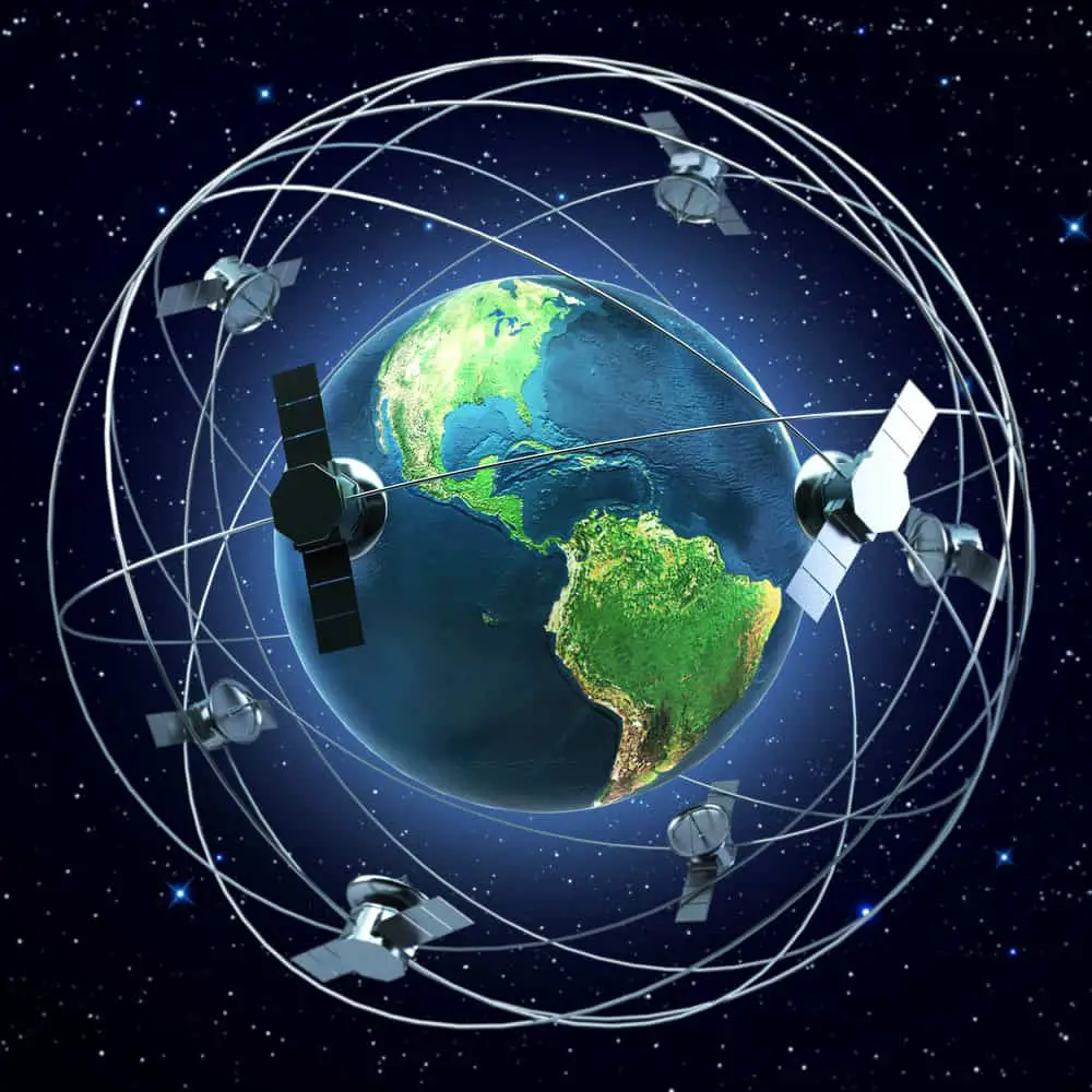
Satellites orbiting the earth
Global Navigation Satellite System (GNSS) is a system of satellites that uses radio signals and satellite technology to provide positioning, navigation, and timing services to anyone on the planet.
GNSS includes systems such as the EU’s Galileo, China’s BeiDou, Russia’s GLONASS, Japan’s QZSS, and India’s IRNSS. GNSS can be used to obtain a very accurate location, and you can use it for navigation, surveying, positioning, timing, communication, and more.
How GNSS works
GNSS vary in age and design but typically operate in the same way. Multiple satellites are launched into orbit and transmit radio signals that GNSS antennas can receive. These antennas process the signals to determine the user’s exact location. GNSS systems also include a control segment, which is responsible for the accuracy of the system.
A GNSS satellite will revolve around the earth every 11 hours, 58 minutes, and 2 seconds.
What is GPS?
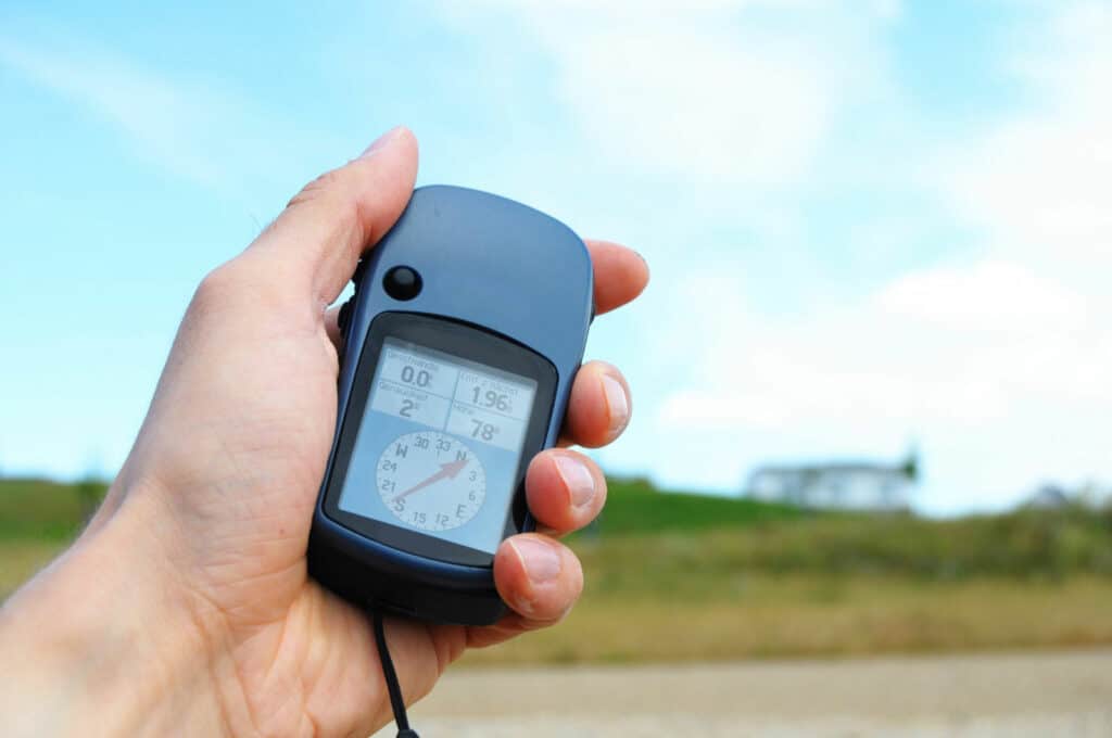
Gps navigation or geocaching concept
The Global Positioning System (GPS) is a satellite-based radio positioning system developed and operated by the United States Department of Defense (DoD). GPS is the most widely used GNSS system and is helpful for navigation, tracking, surveying, timing, and other applications. Brands like Apple use it on their devices.
If you are in the market for a GPS tracker, the Spytec GPS GL300 GPS Tracker (on Amazon) is an excellent choice to go with. It is compatible with vehicles, equipment, and any of your valuables. Plus, it is easy to use.
How GPS Works?

GPS against traveling accessories on a map
GPS consists of three parts, satellites, receivers, and a control segment. The satellites are in medium Earth orbit about 12,000 miles above the surface and transmit radio signals that GPS receivers can pick up.
A GPS receiver processes the signals to determine its position in three-dimensional space. Normally, a GPS will revolve around the earth twice daily and transmit information about its location and speed.
The control segment is responsible for the accuracy of GPS signals and includes a set of monitoring stations and ground antennas. These monitor the performance of the satellites and make corrections if necessary.
How Do GNSS and GPS Differ?
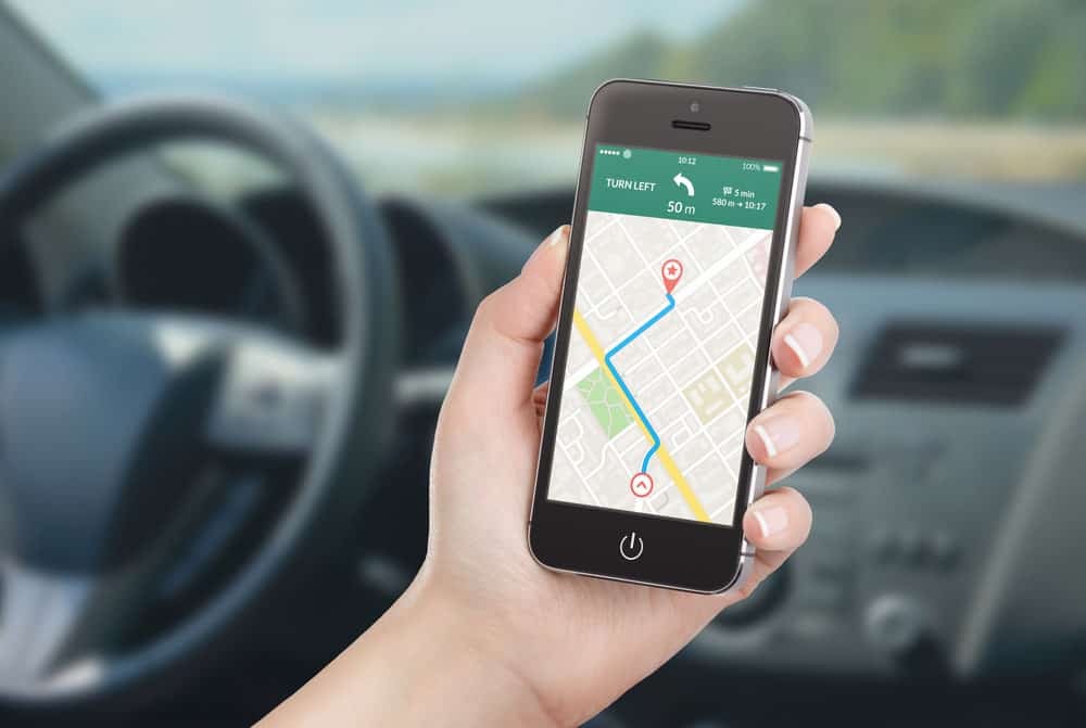
Smartphone tracking location
Coverage
One, GNSS and GPS vary widely in their coverage. While GPS covers only certain parts of the world, GNSS systems cover more than two-thirds of the planet, including remote areas.
GPS only uses satellites in the U.S., so it does not cover certain areas. Moreover, mountains and tall buildings can easily block these satellites. GNSS, on the other hand, uses multiple satellite systems from different countries, which helps to provide more coverage and better accuracy.
Accuracy
As expected, GNSS systems are more accurate than GPS. While GPS can provide accuracy within 10 meters, GNSS systems can offer accuracy of up to one meter. GNSS systems use multiple satellites to triangulate a user’s exact location.
But this isn’t the only factor that affects accuracy. Poor weather conditions and electromagnetic interference can cause errors in the signal, which can reduce the accuracy of GPS and GNSS systems.
Satellites
Another difference between the two is the number of satellites used. GPS uses 31 satellites, while GNSS systems use 35. This means that GNSS systems can provide more accurate readings because they have more satellites in their constellation.
This is especially important in remote areas where GPS coverage may be spotty. With more satellites, GNSS systems can better triangulate a user’s location and provide more accurate readings.
Surveying
GPS and GNSS systems are also applicable in surveying. GPS is limited to 10 meters of accuracy, while GNSS can provide up to one-meter accuracy, making it much more suitable for precision surveying.
GNSS can also quickly survey large areas, which is useful for land surveying and precision farming tasks. GPS is also applicable in these cases, but the accuracy is not as good.
Advantages and Limitations of GNSS and GPS
| PROS | CONS | |
| GNSS | It can be used in more remote locations with fewer obstructions | Not as widely used or accepted |
| GNSS | More accurate than GPS in certain situations | Requires more complex equipment for proper operation |
| GPS | Widely used and accepted | Requires a clear line of sight to the sky for reliable signals |
| GPS | Reliable and accurate | It can be blocked by tall buildings and terrain features |
| GPS | It can be used in most parts of the world |
Frequently Asked Questions
Is GPS the same as GNSS?
GPS is a part of GNSS, but not the only one. While GPS is a satellite navigation system developed and operated by the U.S., GNSS is a more general term that encompasses multiple satellite navigation systems operated by different countries. Examples of GNSS systems include GPS, GLONASS (Russia), and Beidou (China).
How Accurate is GNSS?
GNSS can provide an accuracy of up to 1.7 meters. This makes it much more accurate than GPS, which can only provide accuracy within 10 meters. GNSS systems use multiple satellites to triangulate a user’s exact location, which allows for more accurate readings.
Conclusion
In conclusion, GNSS and GPS are critical tools for navigating in our modern world. From finding your way through a city to surveying a large piece of property, these systems can help you get from point A to point B. Once again, tech has made our lives easier and more efficient.