
GPS coordinates are intersection points on the globe representing a certain location. We identify these points by reading the latitude and longitude on a map. However, many people still don’t know how to write GPS coordinates on paper. And we understand them since not everyone studied Geography in high school or college. If you fall into this group, worry not.
You’ll find that writing coordinates and reading maps is a manageable task with the right information. We’ve got all you need in today’s paper. Read on.
Table of Contents
- Describing GPS Coordinates
- How To Write Latitude and Longitude
- Writing Degrees, Minutes, and Seconds
- How To Write Decimal Degrees
- Writing Degrees and Decimal Minutes
- FAQ
- Conclusion
Describing GPS Coordinates
GPS coordinates are points of intersection critical for communicating the exact position of a target on the Earth. Imagine the Earth as a globe rotating on an axis with two points, one at the top and one at the bottom.
Therefore, the two points are what we refer to as the North and South Poles. Also, imagine a line that runs through the center of the Earth from east to west and cuts into two equal hemispheres. Generally, the line is what we refer to as the equator.
How To Write Latitude and Longitude

(Earth at night taken from space)
Now let’s define the Lines of Latitude and Longitude and see how they are the most common GPS coordinate system units.
What is a Longitude?
The lines of longitude are imaginary lines on the Earth’s surface that run vertically from the North to the South Pole. They run around the Earth with the Prime Meridian line dividing the longitude lines into two. Generally, we write every longitude to the east of the prime meridian with the letter “E.”
Additionally, we write every longitude that falls to the west of the Prime Meridian with the letter “W.” For example, a 20°W longitude lies 20 degrees to the west of the Prime Meridian. The X-coordinates of the longitudes run between -180° to +180°.
What is a Latitude?
The lines of latitude are imaginary lines that run from east to west. Also, the lines run parallel to each other. The centermost line of latitude is the equator. Therefore, all other lines run parallel to it until they reach 90°.
In other words, the North Pole marks the farthest latitude to the North, and we mark it as 90°N (90° North of the equator). Conversely, we represent any latitude south of the equator with the letter “S.” The South Pole marks the farthest latitude south, and we mark it as 90°S.
How to Write Latitude and Longitude Coordinates

(A cyclist checking GPS coordinates on the phone)
Writing latitudes and longitudes follows a standard form and a specific format. Always start with the latitude coordinate followed by the longitude coordinate. Now, let’s say you’re giving the coordinates of a town in your area. For instance, it is on a latitude that’s 20°N and on a longitude of 30°W. Therefore, the correct way to write the GPS coordinates for the town is 20°N, 30°W.
Writing Degrees, Minutes, and Seconds
Sometimes, you may need to give a more precise location of a place that doesn’t fall on the broader latitude and longitude lines. For example, the location of a building in your town. You’ll need to break down the latitude and longitude degrees by minutes and seconds.
Always know that 1 degree represents 60 minutes, and 1 minute represents 60 seconds. Remember, there’s a 1-degree difference between any line of longitude and latitude. So, a building in your town can be after longitude 30°W but before longitude 31°W. Let’s say it is midway between the two longitudes at minute 30.
Additionally, it is after minute 30 but before minute 31, let’s say it’s midway, and at 30 seconds. You’ll write its location as 30 degrees, 30 minutes, and 30 seconds West or 30°30’30” W.
On the other hand, it’s between latitude 20°N and 21°N. You’ll do the same to arrive at, let’s say, 20 degrees, 15 minutes, and 45 seconds or 20°15’45” N. Therefore, by combining the two units, we arrive at the building’s GPS coordinates as 20°15’45” N, 30°30’30” W.
How To Write Decimal Degrees
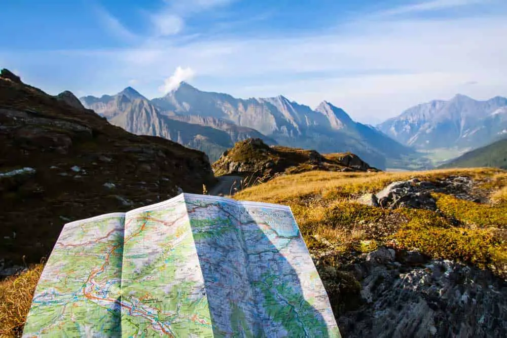
(A map for navigation)
Some maps prefer to write GPS coordinates in decimal degrees rather than in minutes and seconds. Remember, 1 degree has 60 minutes, and a minute has 60 seconds. Let’s use the above example to convert the building’s location (20°15’45” N, 30°30’30” W) to decimal degrees. Use the formula below:
Decimal degrees = Degrees + (minutes/60) + (seconds/3600).
Starting with the latitude, convert the values to decimal degrees and sum them to get your location. That is, 20 + (15/60) + (45/3600). Therefore, the correct decimal degree location of the building is 20.263°N.
Similarly, 30°30’30” W translates to: 30 + (30/60) + (30/3600). Therefore, the correct decimal degree of the building is 30.508°W. Combining the two gives the building’s decimal degree GPS coordinates as 20.263°N, 30.508°W.
Writing Degrees and Decimal Minutes
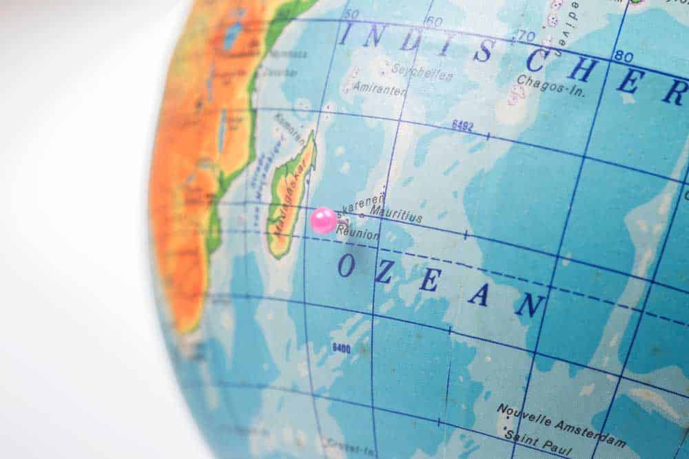
(Reunion island on a map showing longitudes and latitudes)
Some maps prefer writing GPS degrees with decimal minutes. Here’s a guide to help you interpret the map correctly.
To convert from decimal degrees to decimal minutes, reverse what we did in the above section. In our example, your town building’s coordinates are 20.263°N, 30.508°W. Let’s work our way back. The whole number part represents the degrees, while the decimal part represents the decimal minutes in degrees. So, to convert to decimal minutes, take .263° and multiply it by 60 minutes gives us 15.78 minutes.
Therefore, the building’s longitude location in degrees and decimal minutes is 20°15.78′. The same applies when finding the latitude. However, you do not utilize directions like North, south, east, and west while using the degrees and decimal minutes method. Instead, you use positive and negative integers to pinpoint the specific location of an area on a map.
FAQ
What is the standard format for GPS coordinates?
The standard GPS coordinate format is the Degrees, Minutes Seconds.
How many GPS coordinate systems are there?
We have an Angular coordinate system and a rectangular coordinate system as the only coordinate systems.
Conclusion
As we mentioned, GPS coordinates are intersection points critical for communicating a target’s exact position on the globe. Therefore, there is a standard way of writing GPS coordinates on paper. You always start with the latitude coordinate and then the longitude coordinate.
To define a location more precisely, break down the latitude and longitude degrees by minutes and seconds. We’ve covered most questions you had about how to write GPS coordinates on paper. However, if you still have more questions or need clarification, feel free to contact us.