
Everyone uses GPS at some point in their lives. When you’re out on a run, hike, or walk, there’s a good chance you use GPS to navigate your surroundings. If you’re on the road and want to beat the traffic or find a faster route, you’ve probably checked your vehicle’s navigator or logged into Google Maps. Other organizations like law enforcement agencies and emergency services use GPS navigation systems. They use it to find people in distress. GPS also helps people working in the agricultural and mining sectors. But what is the history of GPS, and what exactly does it do?
Table of Contents
- What Is the History of GPS
- When Did the First GPS Come Out, and How Long Has It Been Around?
- Who Invented GPS Navigation System
- FAQs
- Conclusion:
What Is the History of GPS
The earliest GPS models emerged in the 1970s, during the height of the Space Race. In the 1980s, the U.S. government announced its intent to use GPS for civilian applications. This followed the mistaken shooting down of a Korean Air Lines plane by the Soviet military.
By the late 1990s, GPS navigation systems cut across civilian and military applications. Therefore, it led to the establishment of policy directives. Later, interagency executive boards got set up to govern the system. Overall, it enhanced user accuracy and reliability for all.
As of 2022, some of the newest GPS satellites remain operational in earth’s orbit. Undoubtedly, they provide stronger signals across various sectors.
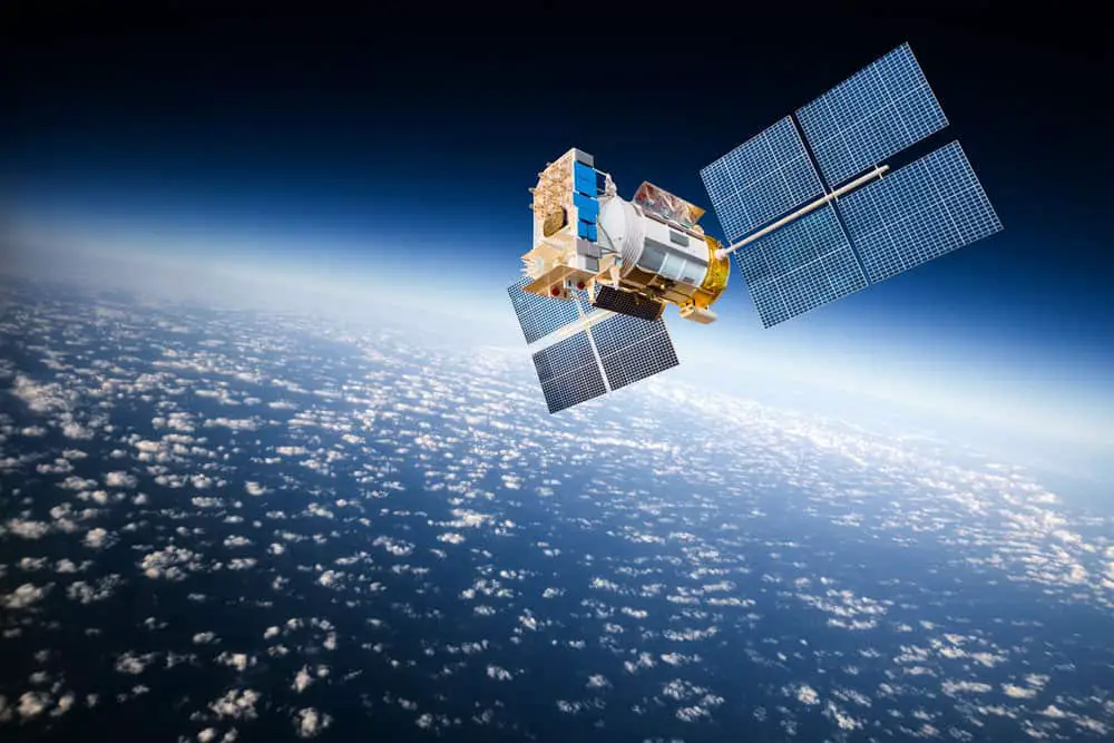
Space satellites orbiting the earth
When Did the First GPS Come Out, and How Long Has It Been Around?
As with most inventions we use in the 21st century, GPS has its roots in WWII-era technology. The U.S. military developed and employed GPS prototypes like LORAN (long-range navigation). They also had the Decca Navigator. Besides that, the Soviet Union also played a part in the development of GPS with the launch of the Sputnik system in 1957.
In 1960, the U.S. Navy launched the first satellite navigation system. By 1967, they developed the means to place accurate clocks in space, which GPS systems rely on. In 1978 the first experimental GPS satellite went live, manufactured by Rockwell International. Today, aerospace company Lockheed Martin manufactures GPS satellites.
Who Invented GPS Navigation System
For all its usefulness and daily application, few people know who invented and developed GPS technology. Particularly, with most scientific achievements, success is a collaborative effort. GPS is no exception. Several bright minds made it work. Each played a role in advancing knowledge and understanding of GPS. Importantly, through individual contribution, they laid the foundation for GPS.
Development of the GPS
There’s Roger Easton. He was the former head of the space applications branch at the Naval Research Laboratory. Easton came up with engineering technologies and applications. Even so, he kickstarted the development of GPS. Easton studied Sputnik during the Cold War. For instance, his findings conceptualized time-based navigational tenets still used by GPS systems even today.
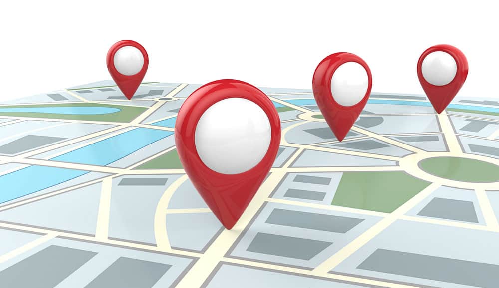
Map with GPS finders
Moreover, there was Dr. Gladys West. Beginning in 1956, Dr. West worked in the U.S. Naval Weapons Laboratory. She was at the forefront of the Space Race. The era that characterized Cold War relations between East and West. Dr. West was a brilliant mathematician. Not only did she crunch the numbers and process data from satellites to identify their exact location. Her contributions got her inducted into the Air Force Space and Missile Pioneers Hall of Fame.
Calculating GPS Data
Dr. Ivan Getting founded The Aerospace Corporation. He introduced advanced networks of satellites to calculate global positioning data. It should be noted that this worked for fast-moving vehicles ranging from automobiles to missiles. Dr. Getting proposed a three-dimensional, position-finding system for navigational purposes.
U.S. Air Force Colonel Brad Parkinson stood at the vanguard of NAVSTAR in the 1970s. He set up a program that would prove pivotal. It revived American space and missile projects to aid global navigation. Not only was Colonel Parkinson one of the chief architects of the GPS, but he led NAVSTAR. All this time, through the program’s conception, engineering, development, and implementation.
FAQs
What Is GPS
GPS, or global positioning system, is a navigation system. It utilizes satellites in space to map out locations on earth. GPS provides users with accurate position, navigation, and timing information. Furthermore, it’s owned by the U.S. government and operated by the U.S. Space Force.
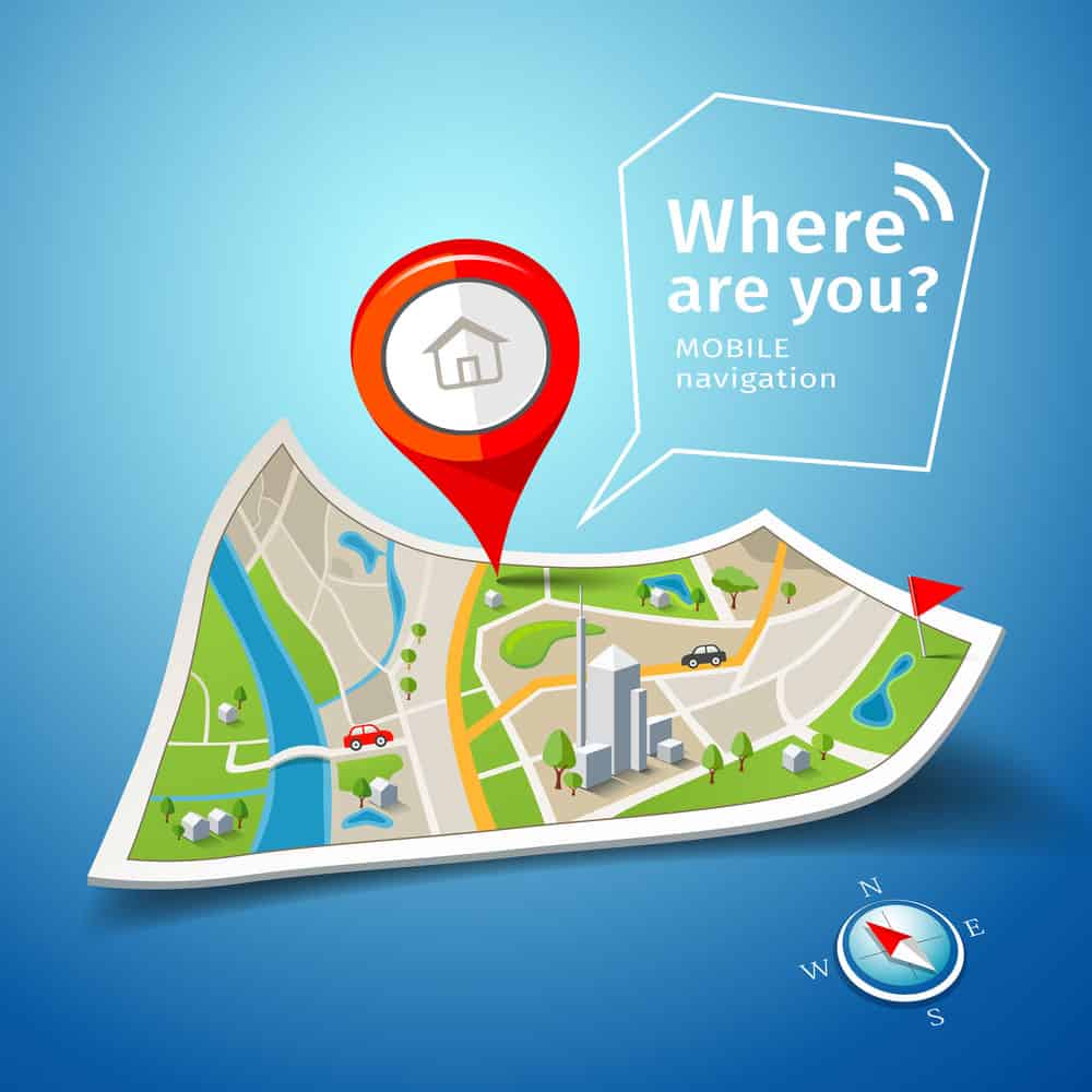
Folded maps navigation
What Are the Types of GPS
There are 5 types of GPS. Assisted GPS (A-GPS), simultaneous GPS (S-GPS). Differential GPS (D-GPS), non-differential GPS, and mapping/non-mapping GPS. Therefore, your smartphone uses A-GPS, while S-GPS gets used by emergency services.

Young woman using smartphone in cafe
D-GPS helps the U.S. and Canadian Coast Guard increase the accuracy of their location data. This differs from the more comprehensive non-differential GPS, which uses direct satellite signals. Mapping GPS employs in-built maps in its systems. Non-mapping GPS uses nearby roads and landmarks to help you navigate your surroundings.
How Does GPS Work?
GPS works via communication between its different elements. These are space, control, and receivers or user segments. These elements work together to ensure accuracy in the information transmitted. GPS applications cut across several sectors. Because of this, the aviation industry, transportation, law enforcement, banking, and finance have seen tremendous growth.
Conclusion:
GPS has a long history of research, development, and applications. GPS started with military use in mind. But its creators realized it could prove useful in other areas. Today, GPS helps the transport industry manage shipping and logistics. People can keep track of their goods, and companies watch shipping and trucking lines.
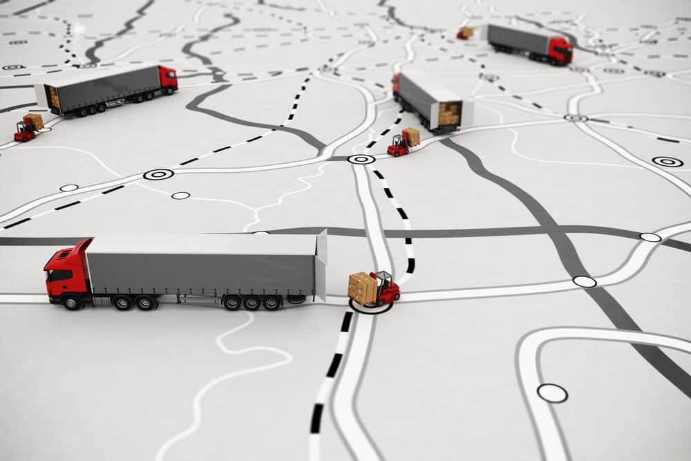
Concept of GPS tracking
Farmers use GPS to map boundaries and irrigation systems. GPS even has applications in healthcare. It aids ambulances in locating injured persons. And getting them to the nearest treatment facility. Thanks to GPS, it’s only gotten easier to navigate your way around. And with newer constellations getting rolled out, it’s bound to improve.