
Thanks to GPS technology, gone are the days we used maps and compasses for navigation. And what about ancient times? Then, humans depended on objects like the sun and stars to guide them to a destination. Today, we all need a simple gadget or phone app to know precisely where we are and get turn-by-turn directions to our destination.
Table of Contents
- What Is a GPS and How Does It Work?
- What Is GPS Used For?
- What Is GPS In Geography?
- What Is GPS Fusion?
- What Is GPS Technology and How Does It Work?
- How Does Cellphone GPS Work?
- How Does GPS Navigation Work?
- Conclusion
What Is a GPS and How Does It Work?
GPS (Global Positioning System) is a navigation system that uses the following: First, satellites in outer space and second, a signal receiver on the ground. Using these, it can determine the exact location of something on earth. Now the system comprises a total of 32 satellites covering the globe for geolocation. However, 8 of these are for backup purposes. So only the remaining 24 actively help in the system’s functioning.
(Caption: Image of GPS navigator pin)
Elements of GPS
Control Segment (Ground Station)
The control segment works a lot like a tower station. How. Well, it manages and relays accurate information to ensure proper functionality.
Receivers
These listen for signals from the satellites. Interestingly, they’re found in trackers and smartphones. And the antenna picks up wave signal frequencies from satellites.
Satellites
GPS uses 31 satellites located about 20,000 km away from the earth. And these send out signals, which preset receivers sense.
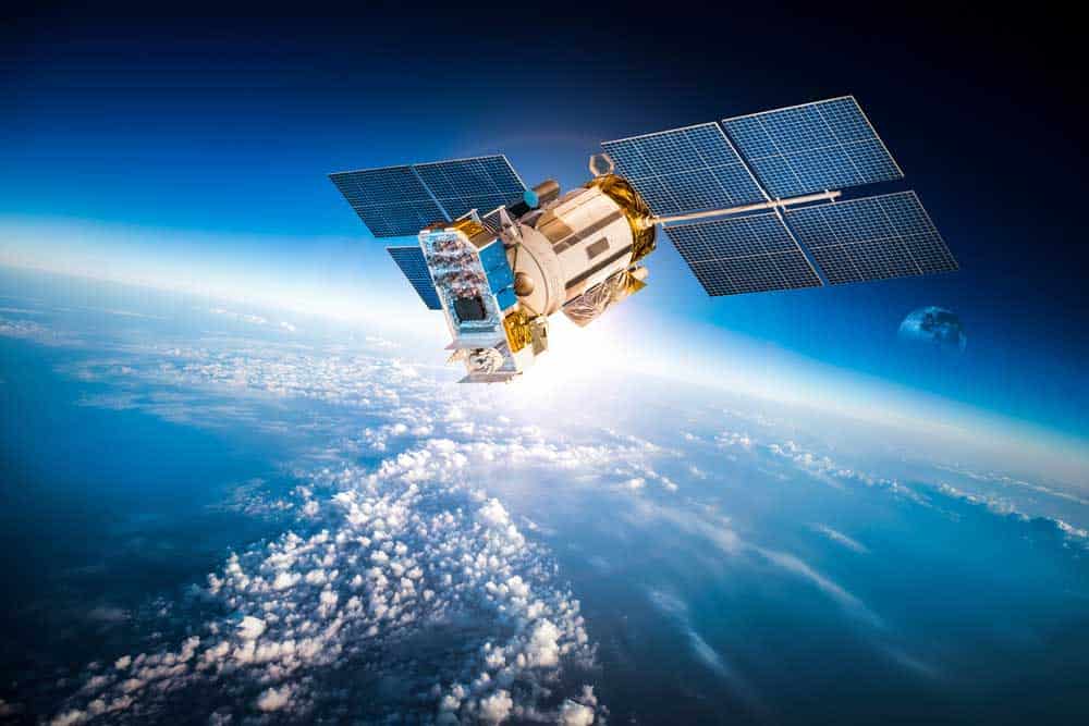
(Caption: Image of satellites in earth’s orbit)
How Does It Work
GPS depends on very accurate microscopic clocks placed on the satellites. And each satellite radiates signals allowing receivers to define the time and location. Now the receiver on the ground calculates the time difference between when the time signal was received and when it was released by the satellite. That way, it’s possible to calculate the distance between the receiver and the satellite.
Note the receiver requires signals from a minimum of four satellites to calculate the correct position. Remarkably, GPS is ideal for use in any climate in any part of the world. Also, there are no payment fees or operational charges at any time of the day.
What Is GPS Used For?
Location
The most important function of GPS is geolocation within the globe. For example, GPS can locate animals for wildlife research, farm equipment, and weather balloons. Also, GPS can locate and save the lives of people in danger.
Navigation
About navigation, GPS functions in line with map applications and assists users in real-time. So you only need to type in your location and get the correct directions from where you are. In addition, highlights along the way to your destination. Also, it’s critical to emergency responses and maritime shipping.
Tracking
When you integrate the internet with a GPS, you can track and monitor any GPS receiver’s position. Simply create a link between the two locations. That way, GPS tracking gets much easier and more convenient.
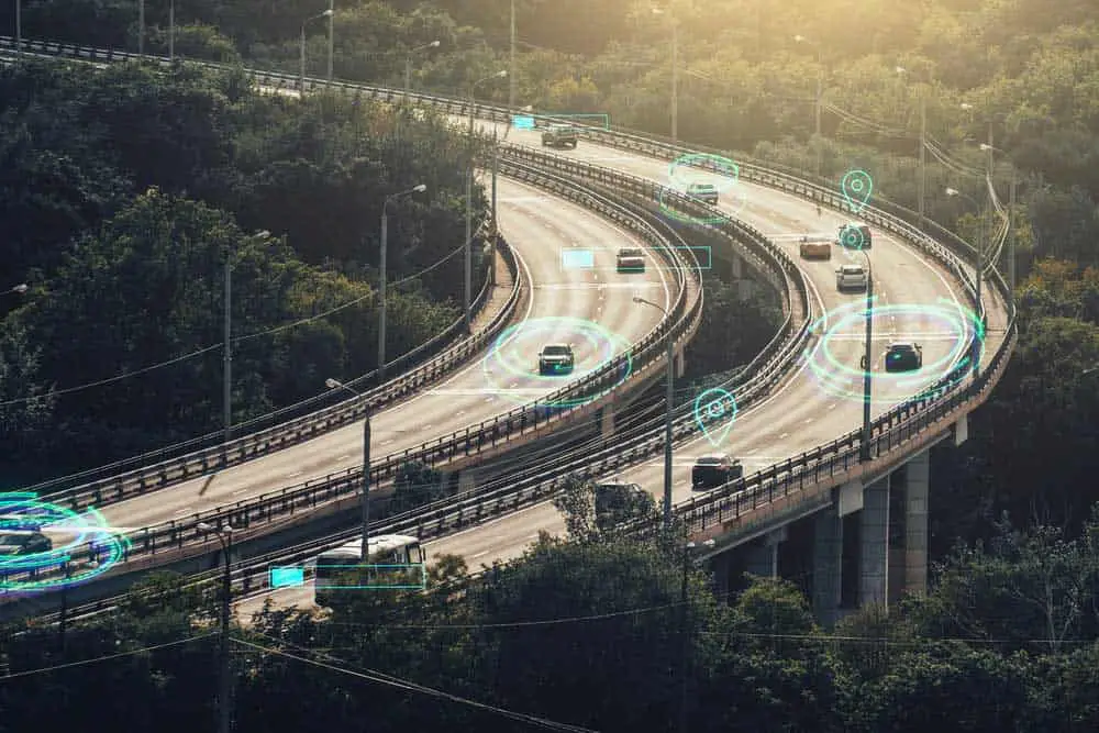
(Caption: Image of cars being tracked)
Mapping
Interestingly, GPS assists with mapping, helping to better describe a country’s outline and environs. For example, it precisely locates and shows the earth’s physical topographies in the setup. Thus, it’s possible to map physical features correctly and precisely using GPS coordinates.
Timing
GPS helps one save time to the destination. That’s because the technology can give the correct location and the shortest route to the destination. Also, it estimates the exact time to take to the location.
What Is GPS In Geography?
In geography, GPS helps in the following areas:
Physical Geography
In this regard, GPS studies changes and patterns in the earth’s environment. That includes studying the distribution of the earth’s species; coastline changes over time, and glacial movements.
Human Geography
When it comes to human geography, here’s how GPS helps. First, it provides data on where traffic moves. And this data informs town planners and transportation geographers on ways to improve road networks. Also, sociology researchers may use GPS data from mobile phones to know where people go and important social venues.
What Is GPS Fusion?
GPS fusion blends WiFi and cellphone location data to accurately map your vehicle location.
What Is GPS Technology and How Does It Work?
It’s a global positioning system that locates the position of an object. How? As mentioned earlier, it uses satellites in outer space and a signal receiver on the ground. And these satellites have microscopic clocks that radiate signals, and receivers define the time and location.
Now the receiver on the ground calculates the time difference between the time signal was received and the time it was released by the satellite. Then, that data computes the distance between the receiver and the satellite. Note that the receiver requires signals from a minimum of four satellites to calculate the correct position.
How Does Cellphone GPS Work?
Phones with GPS receivers can identify your position and give directions to your destination. Also, such phones can provide information about adjacent features when you install the right application package.
What happens is that GPS cell phones use wireless-assisted GPS to define the user’s position. And they use revolving GPS satellites for wireless-assisted systems together with the cell phone’s signal information to give the location. While some cell phones have a GPS receiver built into the phone, some can link via a cable or Bluetooth connection.
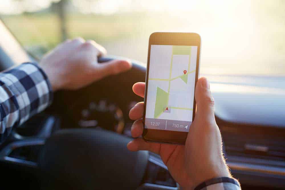
(Caption: Image of cellphone GPS)
Unbelievably, cell phones with GPS can understand coding languages such as Java. Also, they can offer clear information on directions, nearby features, and attractions sites.
How Does GPS Navigation Work?
GPS navigation works together with map software. For navigation to work, you need to type in a location and get accurate directions from where you are, with highlights along the way to the destination. Additionally, the device uses voice stimulation to describe a desired route according to the location of the receiver, the location of the destination, and a road map. GPS navigation will only be accurate if all the maps are up to date.
Conclusion
Now you understand more about GPS, including how it works and its various applications. Also, you have an idea of how GPS navigation and cellphone GPS works. It’s a godsend tool with several applications, including navigation, mapping, timing, tracking, and location. For example, it informs traffic planners and transportation geographers to improve city road networks. Also, it helps people know how to get to unfamiliar destinations.