
The GPS (Global Positioning System) is a global network of 31 satellites that transmit radio signals from medium-earth orbit. It is part of the Global Navigation Satellite System (GNSS), a group of constellations and their augmentations that provide positioning services. The other constellations are Galileo (EU), GLONASS (Russia), and BeiDou (China). The United States DOD owns and operates the GPS, but it is available to the public for civilian use for free. We will look at the GPS segments below to explain how the system works. Let’s get started!
Table of Contents
GPS Segments
GPS comprises the following three segments.
Space Segment
The space segment consists of all the individual satellites in the GPS constellation. This number changes continuously as more satellites get launched into space to expand the system and others get decommissioned. Regardless of the number, each satellite orbits the earth following one of six orbital planes. And it orbits the planet in 12 hours.
These orbital planes have a design that ensures at least four satellites are in view anywhere on the planet at any time. A radio receiver requires at least three satellites to determine its position. So the fourth one enhances this calculation and enables elevation calculation.
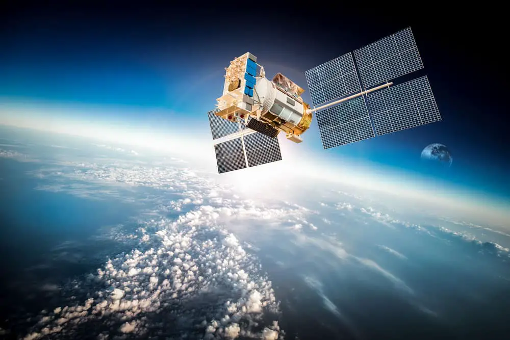
A satellite in space orbiting the earth
Since there are six orbital planes and four satellites that must be visible from any point, you need 24 satellites minimum for complete GPS coverage on earth.
Each satellite sits about 20,200 km above the earth and moves at 14,500km/h while inclined about 55° on the equatorial plane. Also, a few reserve satellites are in orbit to replace the failing ones.
L1 vs. L2
The satellites have precise atomic clocks onboard operating at the 10.23 MHz fundamental frequency. These clocks help generate the broadcast signal, of which there are two: L1 (1575.42 MHz) and L2 (1227.60 MHz). L2 is better than L1 because it uses a faster frequency that can travel through trees, cloud cover, buildings, and other obstacles.
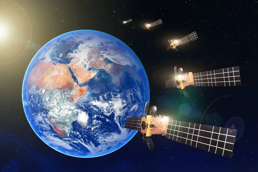
A satellite constellation in space
Each carrier signal has codes modulated on them. L1 has P (precision) and C/A (coarse acquisition) codes modulated at 10.23 MHz and 1.023 MHz, respectively. The P code is for military use only, while C/A is open for civilian use. On the other hand, L2 only has a single code modulated in it at 10.23 MHz.
Satellites broadcasting faster carrier signals (L2C and L5) alongside L1 and L2 are gradually replacing the old ones to provide faster speed and accuracy. L5 will provide navigation for the aviation industry.
Control Segment
Although GPS satellites have well-thought-out designs with impressive engineering, they are not error-free. They can fall out of orbit due to the earth and moon’s gravitational forces. Also, they undergo wear & tear and can experience disturbances due to radiation, space debris, or electric anomalies.
Therefore, they must receive instructions regularly to rectify these errors. Control centers collect and analyze satellite data to determine which instructions to give. And these control centers come in two types: master control and monitor stations.
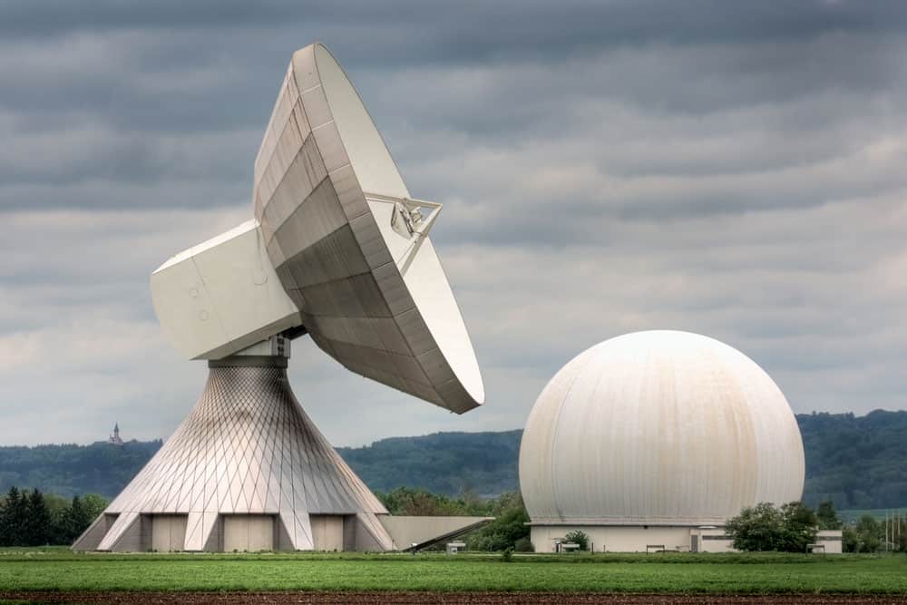
An earth satellite station
Monitor stations are precise GPS receivers placed at five known locations. These are:
- Colorado Springs
- Hawaii
- Ascension Island
- Diego Garcia
- Kwajalein
These stations record any errors between the known and calculated positions if the satellites veer off their path. Satellite signals detected by the receivers enable the monitor stations to determine their precise location. And data defining the satellite orbits comes from a master control station at Colorado Springs. This control station uploads the data to the satellites, which gets sent to the monitor stations as part of the satellite signal. The monitor stations then adjust the satellite positions accordingly.
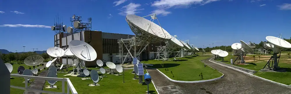
A satellite control earth station
This system has a backup in case the monitor stations fail to align the satellites. The master station can modify the satellite orbits via radio signal commands transmitted to the skies using ground antennas based in:
- Ascension Island
- Diego Garcia
- Kwajalein
- Cape Canaveral (backup ground antenna)
User Segment
As the name suggests, this segment is where users run GPS applications. It includes the following.
- Land, aerial, and marine navigation
- Defense (missile guidance systems)
- Surveying (cadastral and geodetic control)
- Transportation
- Agriculture
- Natural resource management
- Mapping
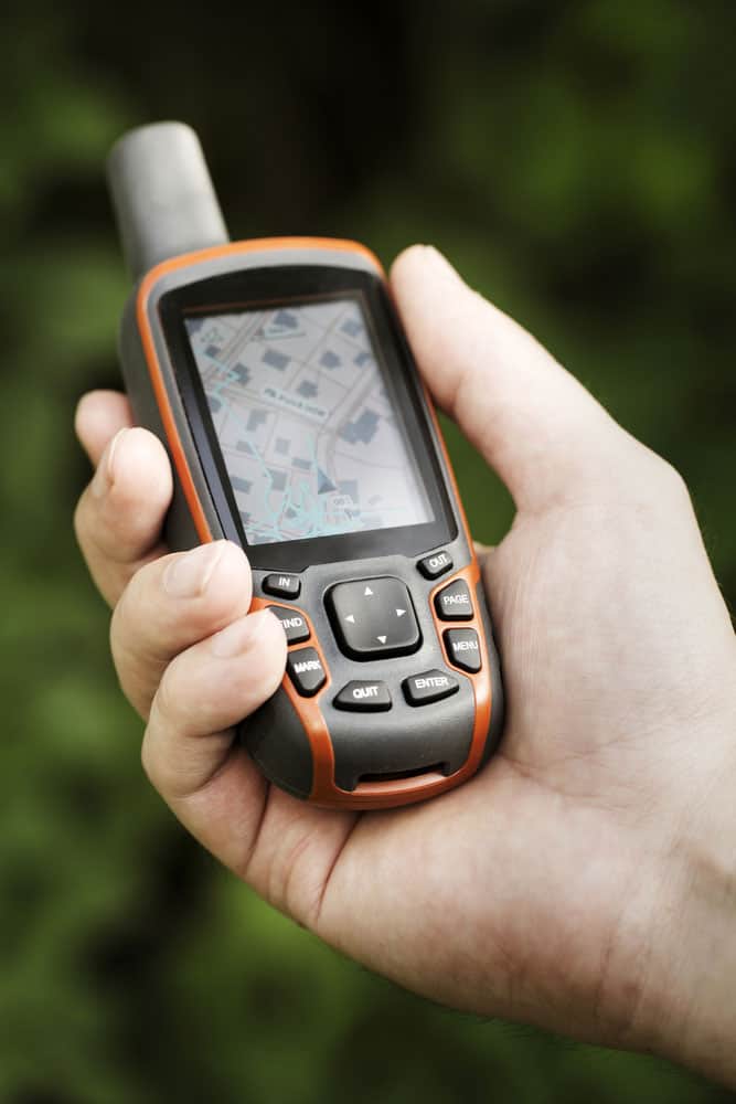
A GPS receiver
Perhaps the most widespread use of GPS is in smartphone mapping and navigation systems. There are over 6.5 billion smartphone users globally, and each probably has a mapping application with a GPS location feature.
How GPS Works
Signals sent by GPS satellites are known as GPS navigation messages. They have two functions.
- Estimating the current satellite position
- Calculating the signal’s transit time
So the user segment must know and translate these signals.
The messages transmit at 50 bits per second, and the system uses several methods to estimate the position coordinates. But the user and GPS type determine the accuracy of the coordinates.
One approach GPS receivers use to determine location coordinates is plane table surveying (a two-point problem). We need to know the distance from three locations to the position to identify a single coordinate. With this data, you can calculate this position from those three locations, a process known as Trilateration.

A man driving while using his smartphone for GPS navigation
The navigation technique uses differences in distance measurements between at least two stations at known coordinates. And these stations must transmit signals at preset times.
So Trilateration uses three satellites or the space segment to get three accurate distance measurements from their known locations at known times. The receiver then computes its position by defining a point in 3D space.
Positional Coordinates Example
Let’s assume you have a handheld GPS receiver and get lost in the mountains during a hike. Satellites cruising in space above you constantly relay their location coordinates and clock timings.
With the signal transit time to each satellite, the receiver creates a circle around the satellites with radius R. Each radius is the computed distance to the satellite, meaning the distance from the receiver to the satellite will be at any point along the circle’s circumference.
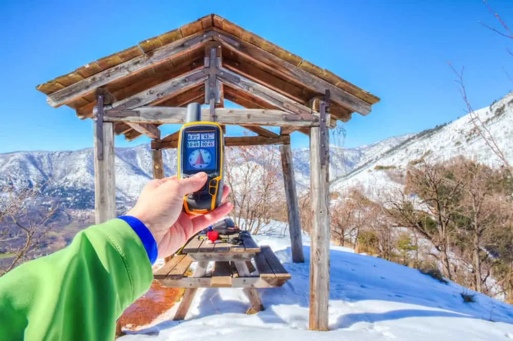
A hiker with a GPS receiver in the mountains
So by using two satellites, the receiver’s location will be at the intersection of the two circles underneath them.
However, this positioning only works for a 2D plane to get the X and Y coordinates. In real applications, you need the Z coordinate, which requires a third satellite, hence Trilateration. The receiver’s position will be at the intersection of all three circles.
Wrap up
In conclusion, GPS segments define the three critical layers that make the system work. The control segment contains ground stations to ensure satellites travel along their planned trajectories. And the space segment has moving satellites with known locations that transmit signals at known times. So the user segment is the only variable, and it uses the space segment for position calculation. That’s it for this article. Leave a comment below if you have any questions or comments.