
About the GPS RTK module, Although GPS simplifies positioning for applications like surveying, the system has high inaccuracies. And the same applies to other GNSS constellations like GLONASS and Galileo. GPS positioning can be off by up to five meters, a significant variation when measuring land boundaries.
However, an RTK module sharpens this accuracy to less than 10cm, sometimes even a centimeter. We will define a GPS RTK module and explain its functioning mechanism. Let’s get right into it!
Table of Contents
- What Is a GPS RTK Module?
- How RTK Works
- What Causes GPS Positioning Errors?
- What Is RTCM?
- Where To Get RTCM Corrections
- GPS RTK Module Applications
- Wrap Up
What Is a GPS RTK Module?
RTK is short for real-time kinematics. RTK positioning applies surveying techniques to correct errors in GNSS constellation systems like GPS. So a GPS RTK board takes in the regular GPS signal plus an additional correction stream to enhance positioning accuracy.
How RTK Works
RTK uses measurements of the signal carrier wave’s phase plus the signal content’s information to get the position data. On top of that, it relies on data from a single reference station (or a virtual interpolated station) to supply a real-time RTCM correction stream to provide centimeter-level accuracy to the base station.
A GNSS base station
The base station receives and re-broadcasts the satellite signal carrier phase to the reference station, which compares its phase measurement from the satellite signal. It then transmits a correction signal back to the base station in real time.
The base and correction station usually communicate via a radio modem in the UHF band because radios have a long-range covering tens of kilometers. Most countries have allocated some specific frequencies for RTK receivers & transmitters.
But if your end application needs an internet connection like LTE-CAT or GSM, then it is better to use a serial link between the two.
Although the absolute position of the two stations is as accurate as the base station’s computed position, the stations can calculate their relative position with millimeter-level accuracy. But the typical nominal accuracy for RTK systems is 2cm +/-2ppm vertically and 1cm +/-2ppm horizontally.

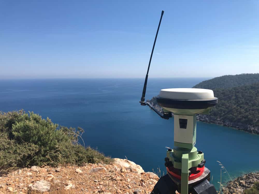
A geodetic engineer using a GNSS RTK receiver
What Causes GPS Positioning Errors?
A receiver calculates its distance from the GPS satellite by measuring the time taken for the signal to travel from the satellite to it. The receiver calculates this delay by aligning a pseudorandom binary sequence in the satellite signal to a similar binary sequence generated internally.
Because the satellite signal takes time to get to the receiver, the satellite signal’s binary sequence gets delayed relative to the receiver’s binary sequence. So increasingly stalling the receiver’s sequence will eventually align the two.
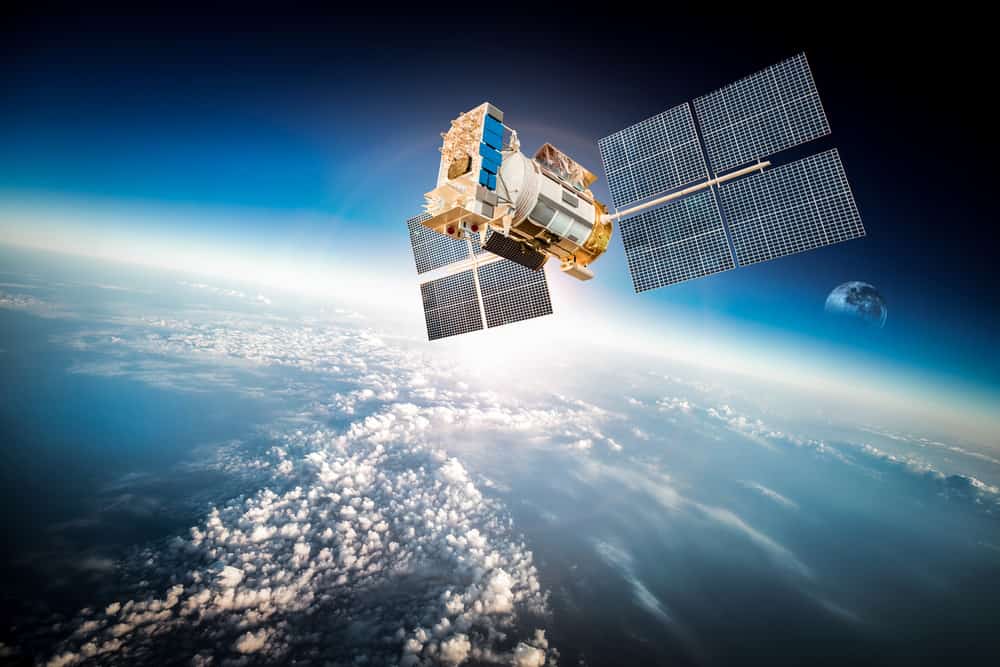
A space satellite orbiting the earth
But the accuracy of the measurement is a function of the receiver’s electronic ability to process satellite signal data with precision. Plus, several factors can cause additional inaccuracies. These include:
- Ephemeris errors
- Tropospheric delays
- Satellite clock errors
- Ionospheric delays
- Multipath errors
What Is RTCM?
RTCM (Radio Technical Commission for Maritime Services) is a non-profit organization that devised protocols to communicate water vessel positions back in the day. One of these protocols is the SC-104, which sends differential GPS to a receiver from a secondary source. So when we refer to RTCM corrections, we mean the protocol, not the organization that created it.
There are several RTCM message types, but the crucial ones for accuracy enhancements are 1005, 1077, 1087, and 1230. Each of these messages contains details about the GNSS (GPS in this case) network and perturbations in the troposphere and ionosphere.
Remember, GPS satellites are over 12,000 miles (20,000km) above the earth, and a lot can happen to the signals as they travel back. For instance, geomagnetic storms can increase timing delays. Also, the earth’s gravitational field is non-uniform and can cause relativity effects that increase errors.

An aerial view of the northern lights during a strong geomagnetic storm
So if we are aware of the issues affecting our local areas in real-time, we can send RTCM messages to GNSS RTK modules on GPS receivers for precise positioning.
Where To Get RTCM Corrections
There are three sources of RTCM correction stream data.
Premium/Paid
SwiftNav provides a cloud-based, wide-area GNSS corrections service named Skylark. This service uses cutting-edge positioning algorithms to send a continuous data stream for multi-frequency, multi-constellation GNSS correction.
The service costs about $49 monthly but only covers the US, West Europe, and Japan, with an active network expansion to cover Asia, Australia, and East Europe.
You can get one month of free access for one device to try the service. But once paid, you can use it on unlimited devices. The service delivers centimeter-level positioning accuracy of 4cm or less.

A surveyor operating a drone for topographic RTK with GPS receivers on site
Build Your Own
The second option is to build or buy a GNSS reference station. It might have a high initial cost, and you’ll have to stay within 10km. But the system will be free to operate, and you’ll have total control over it.
Free
Some stations broadcast free RTCM 3. x data over the internet in real-time, which you can use if you’re lucky to be within 10km (6 miles) of the station. Some of them include the following.
- UNAVCO
- EUREF
- SNIP and RTK2go
- NTRIP-list
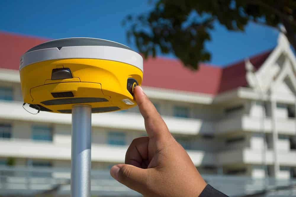
A person activating a GNSS RTK receiver
GPS RTK Module Applications
RTK parameters limit its usefulness to general navigation, but the technique is perfect for surveying applications. With this task, the base station stands at a known surveyed location to act as the benchmark. This setup enables the mobile stations (rover modules) to create an accurate map by taking fixes relative to the benchmark point. Other applications include the following.
- Precision farming
- Autopilot/auto-drive systems
- Machine-control systems

An RTK drone used for precision aerial mapping
Wrap Up
In conclusion, GPS RTK modules are critical for providing accurate position estimates with centimeter-level precision.
However, the module relies on RTCM correction stream data messages for accuracy enhancement.
So you must first find a source for these correction messages to ensure high accuracy levels. And either of the three options above should be enough to get you started.
So as you set up your RTK module, pick your most preferred RTCM source and get the project running.
Drop a comment below if you have any questions, and we’ll be in touch to assist.