
GPS is the most typical GNSS system used for navigation, timing, tracking, and surveying applications. And land surveying is one of the best commercial applications of this technology due to its benefits. Unlike conventional surveying techniques, GPS land surveying is accurate, functions in poor visibility, and requires mobile devices to get the measurements. We will look at this positioning technology and explain how it helps in surveying below. Read on to learn more!
Table of Contents
- What is GPS Land Surveying?
- How To Do GPS Surveying
- Typical GPS Land Survey Equipment
- GPS Measurement Methods
- GPS Land Surveying Applications
- Wrap Up
What is GPS Land Surveying?
We need to look at GPS first to understand GPS land surveying. GPS uses satellite constellations with at least 24 units in a system comprising six earth-centered orbital planes, each with four satellites. The network of ground stations monitors the shape and speed of the satellite orbits, and the system uses signals from satellites to pinpoint a location on earth.

A GPS map for navigation
When a receiver requests data for location calculation, at least four satellites communicate with that receiver, sending various data, such as:
- Satellite position
- Time of data transmission
- Distance between the satellite and receiver
This information helps calculate the receiver’s longitude, latitude, and height. And if the radio receiver is moving, continuous data collection can calculate its velocity. Also, the system is reliable because it can triangulate a receiver’s signal & location at any time of day and in any weather condition with high accuracy.
These features make GPS a powerful tool for commercial applications. And land surveying was among the first commercial adaptations of the technology. The system enables surveyors to obtain longitudes and latitudes without measuring the angles and distances between points. When combined with other equipment like a total station, GPS provides valuable data for creating accurate models and plans.
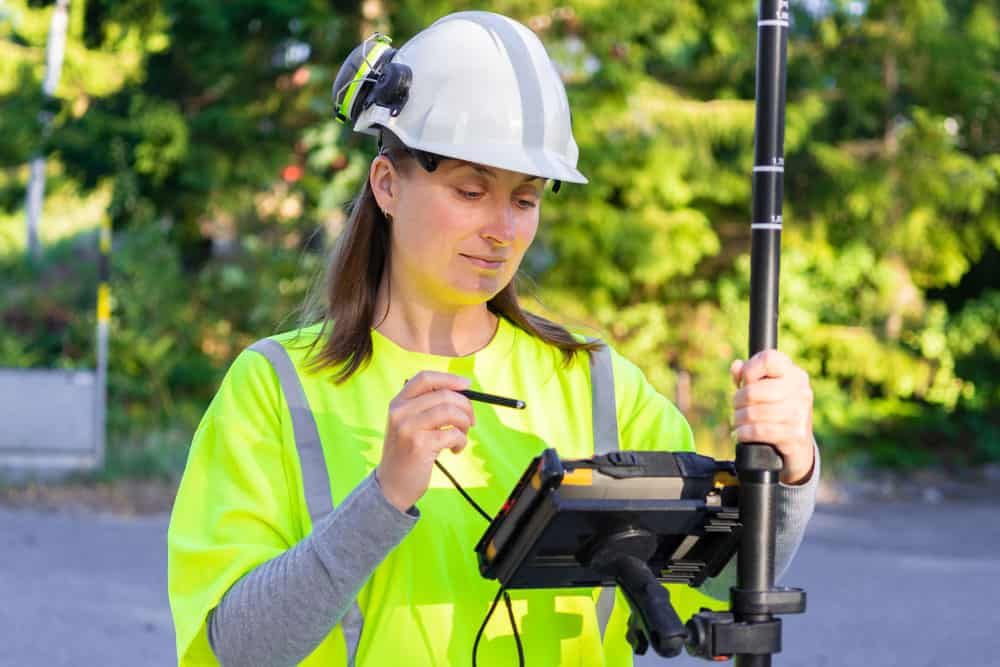
A surveyor with a land surveying tool
How To Do GPS Surveying
GPS surveying is similar to other GPS applications but differs in the following areas.
Data Usage
The data collected from GPS technology for land surveying differs from a typical navigation system. For instance, surveying measures the distance between two points instead of using it for navigation. These measurements get stored, manipulated, and displayed in survey models or Geographical Information Systems (GIS).
Technology
Surveying requires more sophisticated technology than the ones used in typical GPS applications because the data must be accurate. This technology is usually in the form of complex calculation technology and antenna types.
Typical GPS Land Survey Equipment
Let’s take a closer look at the instruments required for surveying applications.
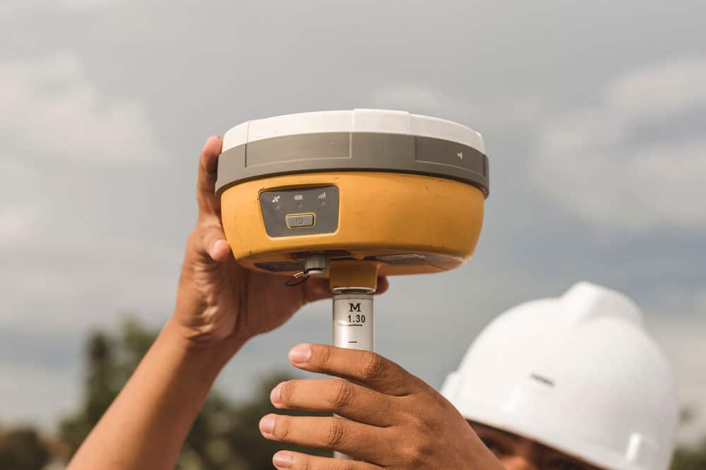
GPS Receiver
A GPS radio receiver receives satellite signals from GPS satellites, then makes calculations. These radio receivers have several optional features, such as WiFi, Bluetooth, OLED screens, and multi-band channels.
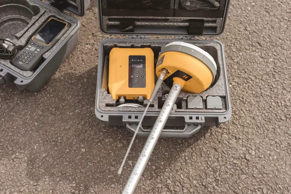
A GNSS (Global Navigation Satellite System) receiver in a hard case
GPS Poles
Poles help mount GPS survey equipment. They are lightweight, durable, and come in different lengths.
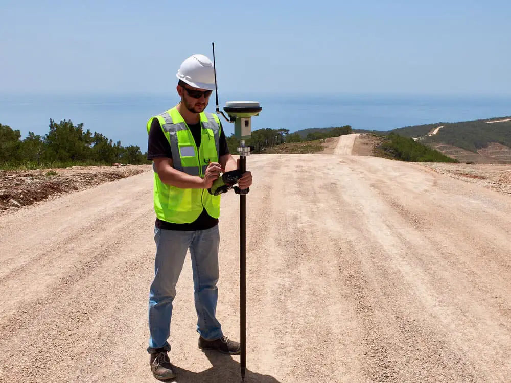
A GNSS satellite receiver on a GPS pole
GPS Rover Rods
These rods extend the range of a rover station’s reach and can come in different lengths.
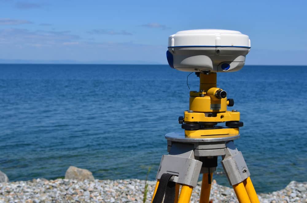
GPS Bipods/Tripods
Bipods and tripods offer better stability than poles when mounting GPS equipment. They come in various sizes with adjustable lengths.
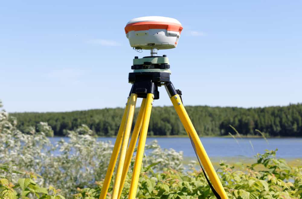
A GNSS receiver mounted on a tripod
GPS Antenna
GPS antennas enable receivers to get signals from satellites. Most systems have an internal antenna, but you can install an external antenna for signal boosting.
Total Station
A total station is a combination of the following equipment.
- Electronic Distance Measurement device (EDM)
- Electronic theodolite
- Software running on an external computer
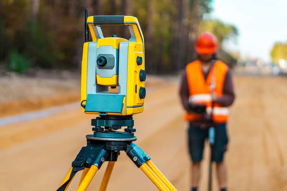
A surveyor engineer with a theodolite on a road construction site
The station calculates the coordinates for survey points using distance & angles and can incorporate GPS technology to generate more accurate results.
GPS Measurement Methods
Remember, land survey tasks using GPS require unique technology/instruments, like the ones listed above, and data. Here are three methods professional surveyors use to collect and make the most of the collected measurements.
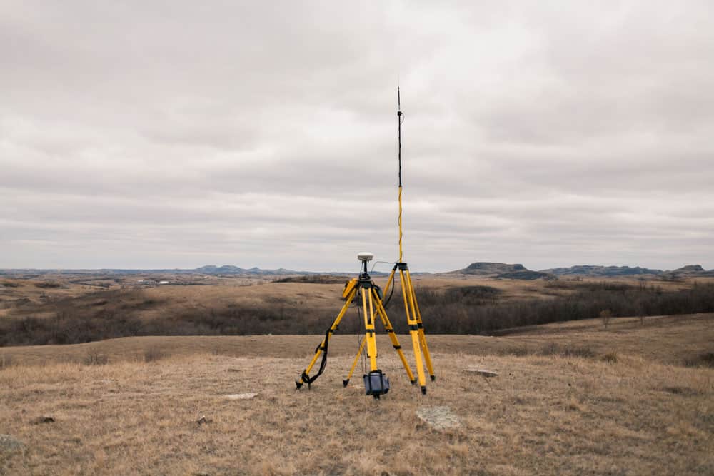
Static GPS Baseline
This technique determines the accurate coordinates for survey points by recording the GPS data for at least 20 minutes. It requires two GPS receivers, and the specific duration of the data observation period depends on the line length and required accuracy levels. Special software calculates the positional difference between the two receivers.
A GPS receiver base station
Although the technique is basic, it calculates coordinates with high accuracy. Also, since it takes GPS observations over a long period, natural GPS signal distortions cancel each other, increasing the data accuracy. So it is ideal for calculating long distances. Generally, the technique has an accuracy of one part per million.
Real-Time Kinematic (RTK) Observations
RTK observations are similar to the static GPS baseline measurements because they require two receivers: a base station and a rover station. But instead of measuring the distance between the two points over time, the system uses several points in quick succession.
The base station receiver remains static, but the rover station moves to several positions when taking the measurements. Once it moves into place, the system collects the data in a few seconds and stores it. The stored data goes into use for field surveying applications.
RTK survey equipment for construction tasks
RTK observations maintain high accuracy by collecting rover & base station data simultaneously and correlating this data in real time. Since the base station remains static, any variations correct the rover’s position in real-time. So the technique can gather data quickly when surveying small areas.
On the downside, RTK surveying is not as accurate as static surveying. And the technique has a limited range of about 20km.
Continuously Operating Reference Stations (CORS)
CORS operates similarly to kinematic positioning but with one primary difference. The base station, a survey-grade GPS receiver, sits in a permanently known location, creating a known starting point.
A GNSS receiver
So you can take measurements at any point using the permanent base station and place the portable receivers anywhere in the local area to collect the data. Land surveyors usually combine this data with the CORS data for position calculation and correcting measurement errors to get accurate data. Combining the data with that from several CORS can improve accuracy.
The technique is typical in most engineering projects that need continuous surveying for a long time.
GPS Land Surveying Pros and Cons
Pros
- High level of accuracy
- Quick calculations
- Mobile field surveying GPS equipment
- Functions regardless of visibility
- Some systems operate wirelessly with real-time observation data delivery
Cons
- GPS equipment requires a clear communication line to the satellite constellation (tall buildings and dense foliage can cause interference)
- Dead batteries and system malfunctions can fail the mobile device equipment
- Special GPS land surveying equipment can be costly
GPS Land Surveying Applications
The construction sector is arguably the biggest beneficiary of GPS surveying, and some industries using this tech include the following.
Commercial Site Industry
Commercial construction sites require accurate GPS models and data to organize resources, develop cost estimates, and enhance efficiency. With this data, companies can improve profitability.
Highway and Roadworks Industry
Road construction requires accurate survey data to create precise models before placing bids and planning projects to organize resources efficiently.
Other applications areas include:
- Mining sites
- Tectonic plate studies
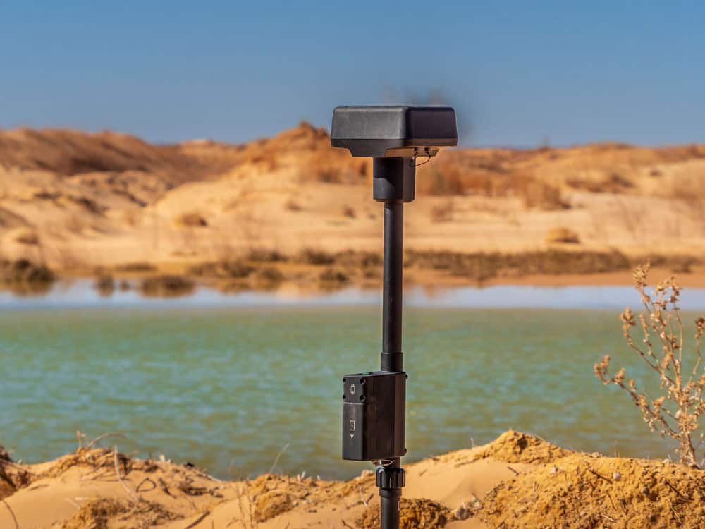
A Real-Time Kinematic unit in an active sand mining operation
Wrap Up
In conclusion, GPS is critical for land surveying because it simplifies the data collection process required to create plans and models. Although GPS instruments might be sophisticated and expensive, GPS land surveying is necessary for roadworks and commercial sites. The technology helps you plan the project for accurate costing and budget allocation, decisions that improve profitability. That’s it for this article. Contact us or drop a comment below if you have questions or comments.