
Regarding satellite tracking apps, Google Maps is undoubtedly the industry standard. The program is sophisticated, delivering turn-by-turn directions and detailed information on traffic flow. Google Maps has an excellent ability to create highly optimal routes. Still, there is currently no navigation feature for truck owners. Keep reading to know how to combine the Google GPS for trucks with other resources.
Table of Contents
- How to Use Google Maps in Truck Mode
- Is Using Google Maps for Trucks a Good Idea?
- The Benefits of Truck Route Planning Software
- Best GPS App for Truck Drivers
- Summary
How to Use Google Maps in Truck Mode
1. Google Maps Truck Mode using iGO Primo or Nextgen
Many truckers rely on the iGO Primo Truck version because it is straightforward and provides precise routes depending on your truck size.
iGO depends on Navteq maps to lead you on your road. Even though Navteq has great coverage, it doesn’t have as much information as Google Maps regarding finding specific addresses and points of interest along a route.
To overcome this problem, you can utilize a combination of Google Maps and iGO. Here is how to do it:
- The first step – download the iGO Primo or iGO NextGen app on your mobile device.
- The second step – go to your device’s “Settings” > “Security” and enable “Unknown sources” second.
- The third step – have the software start operating in the background.
- The fourth step is – Start Google Maps, type in your address, and click the “Share” button.
- The fifth step – pick iGO Primo from the list. It’s probably under the “More” button if you’re having difficulties locating it.
- The sixth step – once you press the button, iGO will launch and show you the route to your destination.
- The seventh step – choose your destination and press the “Navigate” button.
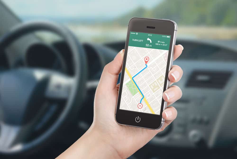
A map on the screen of a smartphone in a man’s hand
2. Google Maps Truck Mode using Send to Navigation
Send to Navigation is a fantastic program that is worth downloading.
This program gets your current location from Google Maps and directs it to the truck GPS navigation app of your choice, such as IGO Primo. Here is how you can use it:
- The first step is – Install iGO Primo or one of the many other available options on your smartphone.
- The second step is – Get the “Send to Navigation” app from the App Store.
- The third step – Launch the three applications, “Google Maps”, “iGO Primo”, and “Send to Navigation.”
- Fourth step – In the “Google Maps” window, choose the location you’re interested in, then click the “Share” button.
- The fifth step is – Choose the “Send to Navigation” app to send the coordinate data to the operating system you prefer.
- Sixth step – Google Maps will help your truck’s GPS software to plot a swift path to your destination.
3. Use coordinates from Google Maps and send them to your truck’s GPS app
To use this approach, all you need to do is open Google Maps and copy the coordinates of your destination.
After that, launch your truck’s GPS app (it must accept coordinate input) and paste the coordinates into it.
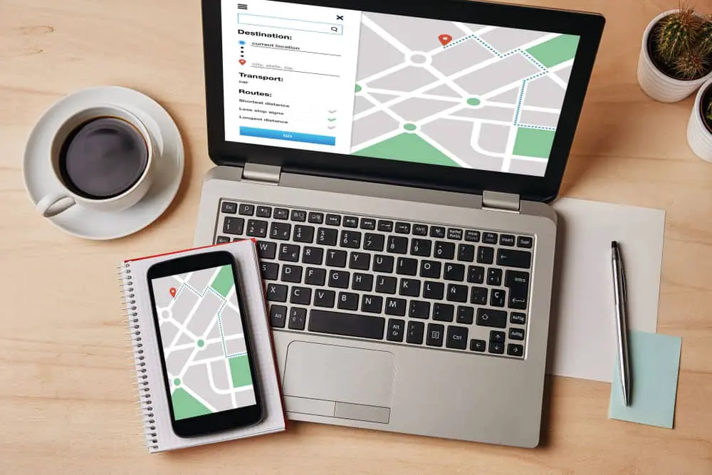
GPS map navigation app on laptop and smartphone
Is Using Google Maps for Trucks a Good Idea?
People often ask why they should use truck-specific GPS programs like iGO Primo or Nextgen when they can use Google Maps. In short, a truck-specific GPS gadget is superior to Google Maps. It delivers information that Google Maps does not, such as road closures, bridge and tunnel heights, and upcoming traffic problems.
Generally, Google Maps is beneficial for showing you the destination between two points, but it isn’t appropriate for commercial truck routing, for example.
The following are the main superiorities of truck-specific GPS navigation systems over general-purpose ones like Google Maps:

A car containing a tablet with GPS.
Time tracking
In the commercial trucking world, time is money. Consequently, truckers need to track their time on the road. Many truck GPS apps have features like total trip length, estimated arrival times, etc., that make it unchallenging to keep track of your progress and stay on schedule.
The stops number
On such long journeys, lorry drivers might spend weeks or even months on the lane, so they must know the times they’ll need to refuel to be well prepared.
Vehicle type
Even if Google Maps can help you find the most straight pathway, what if you’re driving a truck too bulky to pass through regular hallways? Here’s where truck-specific GPS navigation systems come in handy; with their aid, you can discover the most efficient pathway for your vehicle type.
The Benefits of Truck Route Planning Software
Lower fuel bills
Simple math: less fuel equals lower fuel bills. If you line up your path accurately, it will be easy to decrease the fuel you use by cutting out unnecessary stops and finding the shortest, most straightforward route.
Smart long-haul route planning
With an accurate routing application, fleet managers can effortlessly arrange long-distance trips that need rest areas with just a few clicks.
Live to track
Using a truck route planning application is the only technique to track down truck drivers in real time. It is a fantastic tool for fleet managers to monitor drivers’ whereabouts and ensure they follow the correct route.
Improved productivity
As a fleet manager, you want your team to maximize its output. With the help of a truck route planning system, you can ensure that your drivers use the quickest and most cost-effective routes. Thus, they will send more packets using the same time and energy.
Higher customer satisfaction
Customers’ happiness is the number one priority for every booming business. When you use a truck route planning system, you can anticipate your goods will get where they need to go rapidly and without getting broken. This way, customers will be more satisfied overall, and retention rates will rise.

A man hand pressing on a smartphone screen with a five-star rating
Best GPS App for Truck Drivers
TruckBook
Generally, TruckBook is better than other truck GPS routing apps made for regular drivers or doesn’t necessitate many trucking-specific features.
Stand-out Functionality:
- Contemporary, portable truck navigation using google maps.
- Compatible with any mobile phone, even larger tablets, for convenient reading and mobility.
- A low-priced, high-precision GPS that doesn’t need constant connectivity to the internet.
- Quick access during critical situations.
- Includes free lifetime map updates.
- A huge database of truck stops, rest areas, and gasoline stations.
Sygic Truck GPS Navigation
Sygic has a detailed map that truck drivers can use to plan their routes ahead of time. It lets them choose the shortest, fastest, and least expensive way to reach their destination.
Stand-out Functionality:
- Comprehensive resource for travel planning; includes items like gas stations and live traffic updates.
- Avoid dangerous roads.
- There’s a 14-day trial period before paying for the app.
Trucker Path
Trucker Path is a superb option for professional truck drivers who look for more than just a traffic map and directions.
Stand-out Functionality:
- Easy access to truck parking lots, such as Walmart’s truck parking.
- Explore several points of interest, from operational weigh stations and petrol stations to more out-of-the-way destinations.
- Locate rest stops and trucker laundromats.
- You can hunt for loads along the way if you need to fill up your truck.
Summary
Whether you are a fleet manager or a truck driver, choosing the best GPS app for your requirements is critical. Consequently, it’s important to consider the features each app presents and how they might help you. Please get in touch with us if you have any additional inquiries so we can provide more details.