
Most devices use GPS for navigation, and people might be unaware of other options like Galileo or GLONASS. So why do we have multiple GNSS constellations if the majority use one? The answer is national security. Each of these satellite systems is under a different government’s control. So the government owning the system can shut other countries out if they perceive them as threats. We will compare Galileo vs. GPS, the two leading GNSS constellations, to see their ownership and operating model. Take a look!
Table of Contents
- What Is GNSS?
- What Is GPS?
- What Is Galileo?
- Benefits of Using More Than One GNSS
- Disadvantages of Using More Than One GNSS
- Wrap Up
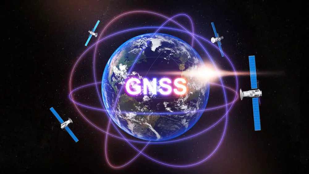
What Is GNSS?
GNSS (Global Navigation Satellite System) defines any satellite constellation that provides navigation, positioning, and timing services regionally or globally. The most prevalent constellation is GPS, but other countries are launching their systems into space.
The GNSS constellations
GLONASS, a Russian constellation, is not new because it is almost the same age as GPS. But Galileo, BeiDou, IRNSS, and QZSS are relatively new. All systems have a similar architecture consisting of the following segments.
- Control or ground segment
- Space segment
- User segment
What Is GPS?
The Global Positioning System (GPS) is a US-owned satellite navigation system. Launched in 1978, it is the oldest operational satellite constellation, which is one of the reasons it is the most prevalent.
The system currently has 31 operational satellites in orbit at an altitude of 20,180 km (12,540 miles), which is in Medium Earth Orbit. But the number of active satellites in orbit can change as the US launches new satellites into orbit and decommissions others.
GPS satellites circle the earth twice daily, and each position on the ground should have four visible satellites at any time.
GPS Accuracy
Under an open sky, GPS has a positional accuracy of up to five meters. This standard was quite good for its time and became the standard for other systems launched after, such as GLONASS. However, this precision is relatively low by modern standards, making GPS no longer the best among its peers. So most applications combine GPS with other systems to enhance accuracy.
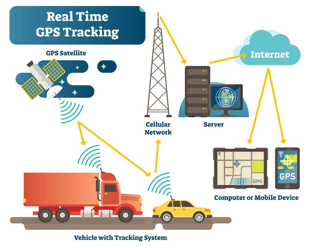
An infographic showing a real-time GPS car tracking system
GPS III
But the Americans are not letting other systems beat them in this race for accuracy. Launching GPS Block III satellites is already underway to replace the old space vehicles. Companies like SpaceX and ULA have contracts to launch these next-generation GPS satellites, with the first one launched into orbit in December 2018. If no delays occur, the GPS block III final launch should be underway sometime in 2023.
These satellites will open up new satellite signal frequencies, namely:
- Civilian L2
- M-code (military)
- L5 (safety of life)
- New civilian L1C (broadcast on the same L1 frequency)
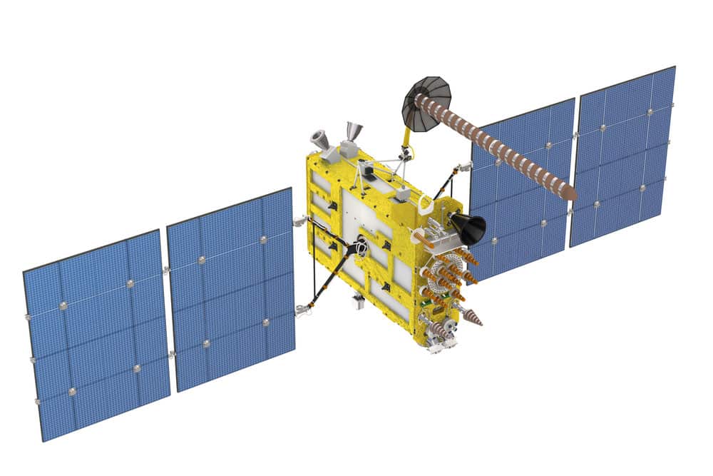
A modern GPS satellite
The US should launch the second set of GPS Block IIIF satellites containing 22 space vehicles after 2026, with the last launch expected at around 2034.
What Is Galileo?
Galileo is a Global Navigation Satellite System consisting of 24 active satellites and six spares. Created by the European Union via the European Space Agency and operated by the EUSPA, the system has its headquarters in Prague, Czech Republic. The system has two ground stations in Oberpfaffenhofen, Germany, and Fucino, Italy.
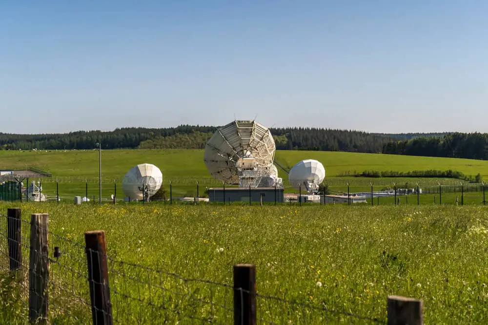
An ESA ground station
The prototype satellite for the system went into orbit in 2005, but it was until 2011 that the first operational satellite came online. And the entire navigation system became operational in 2016.
These European satellites orbit at an altitude of 23,222 km(14,429 miles), which is higher than GPS. So they take longer to circle the earth, completing 1.7 revolutions in 24 hours (14 hours per revolution).
Galileo Accuracy
The primary purpose of these European satellites is to provide a high-accuracy positioning system independent of GLONASS and GPS. So Galileo provides dual frequencies as standard. And civilians can expect real-time positioning to be as accurate as up to one meter. This precision is impressive because it is five times better than GPS.
The system also offers better accuracy at high altitudes, such as mountainous regions. Additionally, it is more precise in urban environments where tall buildings can obstruct satellite signals. So combining Galileo and GPS can enhance navigational accuracy in cities, especially around Europe.
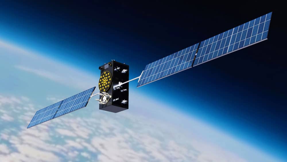
A Galileo satellite in orbit
But more importantly, Galileo ensures Europe can operate without relying on Russian or United States systems. And a more accurate (up to 1cm), fully encrypted service is available to government-authorized users for free.
Another vital point is that the satellites in this constellation base their time references on rubidium clocks and passive hydrogen masers. These atomic clocks give the satellites better timing accuracy (up to 30 nanoseconds) to enable more precise synchronization for time-critical applications, such as:
- Financial transactions
- Aviation
- Power distribution networks
- Telecommunications
How Galileo Works
This constellation operates as a tiered business model to provide better support to traditional navigation & positioning applications and encourage innovation. It has the following five services.
Galileo vs. GPS: OS (Open Service)
This service is free to use for consumer markets and IoT applications. It includes positioning & timing and delivers precision up to a meter. And it has the same access codes as those used by GLONASS and GPS.
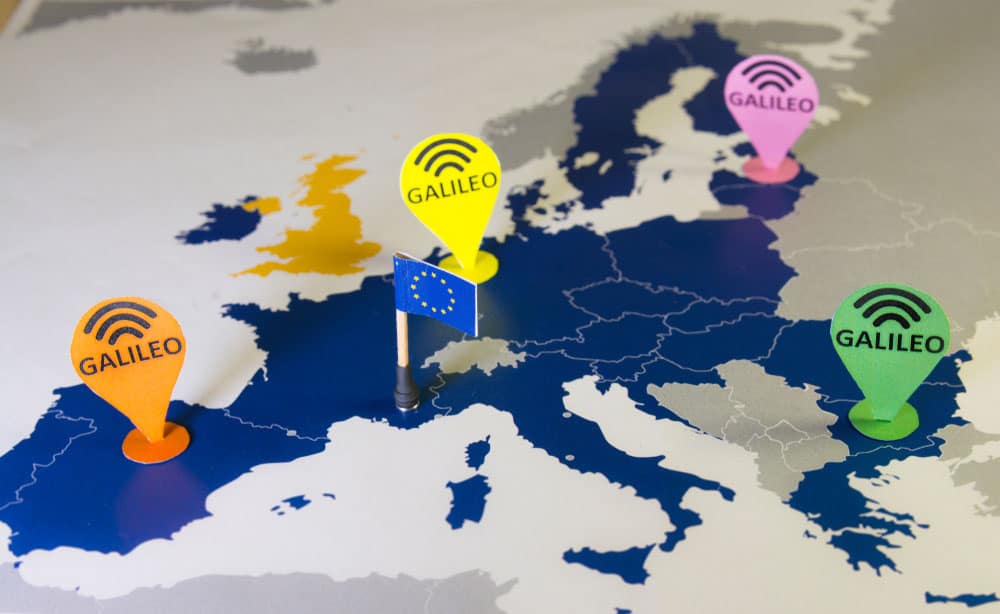
Galileo’s navigation positioning above a map of Europe
Galileo vs. GPS: HAS (High Accuracy Service)
HAS complements OS because it provides an additional navigation signal plus added value services in another frequency band. And it is possible to encrypt the signal frequency to control access to the service.
Galileo vs. GPS: OSNMA (Open Service Navigation Message Authentication)
This free service also complements OS because it delivers authenticated data to assure users the received message is from the Galileo system and has no modifications.
PRS (Public Regulated Service)
The Public Regulated Service is an encrypted, higher precision service primarily used by civil and public safety authorities. So devices and applications built for this service require the provider to secure usage and testing permission because the receiver requires a decrypted signal with accessible timing, positioning, and navigation data.
Galileo vs. GPS: SAR (Search and Rescue)
Search & Rescue is Europe’s contribution to COSPAS-SARSAT. These devices can pick emergency beacon signals, then relay and backhaul them to ground stations.
SAR is an improved version of the same service under other GNSS constellations because it reduces the latency from the distress beacon activation to when the operations center gets the alert.
It cuts the time to detect these emergency distress signals to ten minutes, down from the three hours given by GPS and others. Combined with higher positional accuracy, distress events in remote areas like the sea or mountains can get help faster and reliably.
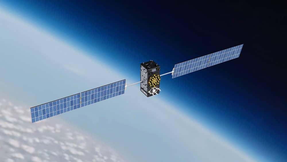
A Galileo satellite
Galileo vs. GPS: CAS (Commercial Authentication Service)
This encrypted service provides precise positional accuracy to the cm level with a service level agreement guarantee. CAS is a unique Galileo feature because the constellation was initially for civilian and commercial use. So providers and operators utilizing CAS must pay subscription and usage fees to sustain the system. But GPS was primarily for military use, then opened up later for civilian use. So it has no paid service.
Benefits of Using More Than One GNSS
Usually, you can’t pick which GNSS to use. And in the United States, you cannot opt out of using GPS. You can only use GPS with others, such as Galileo and GLONASS. And there is a benefit of using several constellations.

A GNSS receiver kit for surveying
If using GPS alone, the system gives you only 31 satellites to pinpoint your location. But combining GPS with Galileo can double the number of visible satellites. These extra satellites pinpoint locations faster and with better accuracy. Adding GLONASS to the mix makes it even better because it is the most precise in mountainous areas (high altitudes).
Disadvantages of Using More Than One GNSS
Although combining multiple constellations enhances timing, positional, and navigation accuracy, it has one disadvantage; high power consumption.
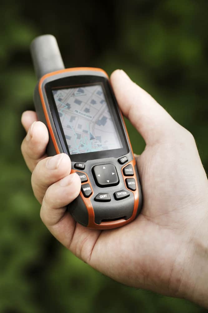
A handheld GPS receiver
Since these constellations transmit in different frequency bands, the GNSS receiver will create several connections to the satellites in view. You will most likely notice the high energy consumption on handheld devices because they pack small batteries.
Wrap Up
Going by the data above, the Galileo constellation is better than GPS because it provides better positional, navigation, and timing accuracy. But it is the newest GNSS and might have issues that require fine-tuning. So it wouldn’t be advisable to ditch GPS just yet. Additionally, not all devices can detect Galileo satellites. The best option would be to use both systems to get the best results. And GPS III looks promising, so it will only get better. Drop a comment below if you have any questions, and we’ll get back to you asap.