
If you’re a boater, then you know that having a reliable GPS on board is essential. After all, there’s nothing worse than being out on the open water and suddenly realizing that you have no idea where you are. That’s why we’ve put together a list of the 10 best boat GPS apps. With any of these apps, you’ll be able to navigate confidently.
Table of Contents
The Top 10 Best GPS Apps
1. Garmin Blue Chart
With the Garmin Blue Chart GPS marine navigation app, you can access many beneficial features such as active wind direction and speed readings, sun/moon phases, and tides. Furthermore, easily manage your routes with intuitive waypoint markers that sync to Active Captain for an even better user experience! One thing worth mentioning is that this app does not allow live route activation.
Pros:
- User-friendly
- Free to use
- Compatible with Garmin devices plus iPhones
Cons:
- Live route activation is unavailable
- The ultimate world chart feature requires payment of $29.99 to unlock
2. NavX
The iNavX GPS app has an extensive suite of features designed for seamen. It comes with free US NOAA raster charts, GRIB weather forecasts, route & waypoint tracking functions, GPX uploads/downloads capabilities, tides, and more. Additionally, the app offers real-time positioning information with intuitive zooming capacities to ensure accuracy. However, this app lacks integration with a community guidebook.
Pros:
- The competitive price point of $49.99
- Wi-Fi synchronization
Cons:
- User experience may not be as good as other apps
- Integration with a community guidebook is unavailable
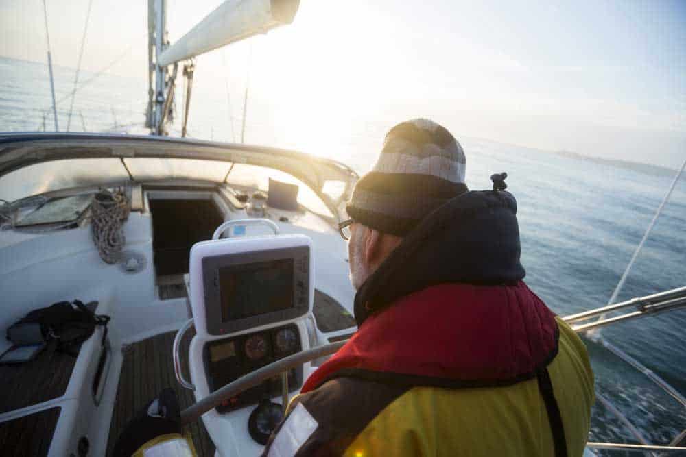
Man looking at Navigational screen on the sailboat
3. ISail GPS
iSail GPS costs only $7.99 and uses free NOAA raster charts for your convenience. This app includes Waypoint import/export, chart management, tracking, and route planning. The app displays navigation data such as distance traveled, current heading & bearing of the boat on top of the screen, so you don’t miss a thing! The app’s chart requires some getting used to when it comes to using certain actions. Also, there’s no POI detail or guidebook either.
Pros:
- Clear display on the screen
- Navigate while underway
- Convenient for local sailing
Cons:
- Requires a learning curve to use certain actions
- No POI detail or guidebook is available
4. The iSailor App
The iSailor App provides an effortless way to navigate through its comprehensive chart library, filled with TX-97 vector charts from areas across the globe. Prices run from $4.99 – $24.99 for larger regions, and it is available on both iPhones and iPads! This app allows users to customize their charts with objects of choice. Nevertheless, inputting waypoints for routes is complex, and the app has no guidebook or online community option.
Pros:
- The comprehensive paper chart library
- Intuitive user interface
- Detailed TX-97 vector charts
- Customizable map views
- Available for both iPhones & iPads
Cons:
- Inputting waypoints for creating custom routes isn’t straightforward
- No guidebook or online boating community option is available
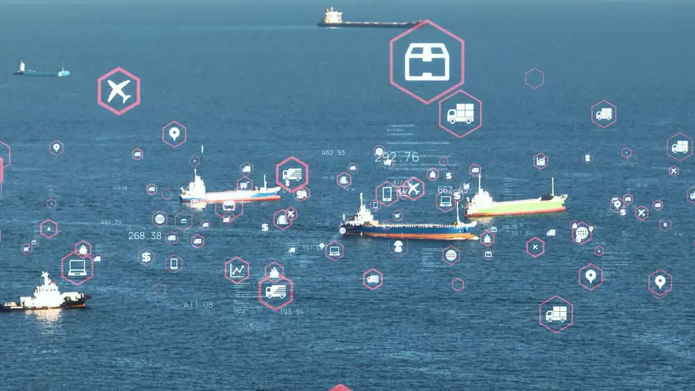
Marine transportation and technology concept
5. Navionics
Navionics is one of the most popular navigation apps for both iOS and Android users. This top-notch companion features free Navionics Gold vector charts with terrain overlays, maps, and aerial shots. Thanks to its user-friendly interface with zoom and pan capabilities, you can pinpoint any location quickly. Additionally, it’s simple to form or modify routes by placing markers along them before deleting or rearranging them as needed.
Pros:
- Create and edit routes
- Transferer waypoints and Routes wirelessly
- Compatible with iOS devices and Android
- Seamlessly connect with the Navionics Community
- Share tracks via email and social media
Cons:
- You need to separately buy chart regions and additional features
6. Boat Beacon
Boat Beacon is an ideal app for near-shore navigation and bustling anchorages. Utilizing AIS tracking, real-time updates with a reliable internet connection offer coverage up to 15 miles from the shoreline. It lets users quickly share their data via email or social media platforms. However, battery drainage can be rapid in the process!
Pros
- Enhanced safety with the collision-avoidance
- Ideal for high-traffic anchorages
- Data Sharing
- Amazing boat tracking
- Track close vessels
Cons
- The battery power drains quickly
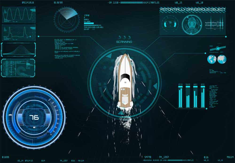
App navigation in the HUD UI style
7. Marine Navigator
For just $8.48, the Marine Navigator app provides an immense array of advanced features! You can download NOAA raster charts and KAP/BSB navigational charts to view your vessel’s COG position. You can also add waypoints effortlessly, then export them as GPX files quickly and conveniently! However, it is only available for Android devices.
Pros:
- Cutting-edge features for MOB scenarios
- Add routes, tracks, and waypoints
- Automatic chart updates
Cons:
- Only works with Android devices
8. Polar View MX
Polar View MX is an optimal app for iPhone and iPad users who need a straightforward NOAA chart viewer that works well with Active Captain. The free app displays essential navigation details in real-time, including bearing, COG, GPS position, and SOG. Although Polar View does not include tracking or routing features or waypoints, it remains one of the best options for its purpose.
Pros:
- Free
- Real-time navigation info
- NOAA vector and Raster detailed charts
- Works with Active Captain
Cons:
- Waypoints, tracking, and routing capabilities are not available
9. SEAiq
SEAiq is a navigation app that uses NOAA and the US Army Corp of Engineer raster charts. You can download sonar charts by region for free and easily activate or deactivate them. This boating app allows for creating routes from waypoints and reversing and reshuffling route segments. It also offers route management, anchor alarm, nautical chart display personalization, AIS sharing, and GPX file importation. However, these features are only available in the premium version.
Pros:
- Disable and enable the regions
- The premium version has a 7-day free trial
- AIS sharing
- Create routes from the several waypoints
Cons:
- Pro features need app purchase
10. SeaNav
SeaNav, an app from Pocket Mariner, offers NOAA vector charts for the US and UKHO charts for Ireland & UK, respectively. Its chart tiles will automatically download when in high-level map view. You can switch between Hybrid, Satellite, or Map display modes; tap on the chart to pinpoint places using coordinates, and explore surrounding objects such as ships, buoys, and bridges. However, this app occasionally suffers lags during use!
Pros:
- An enhanced view of your surroundings
- Three display modes
- Automatica chart tiles
- Affordable
Cons:
- You might experience some lags
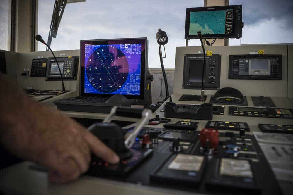
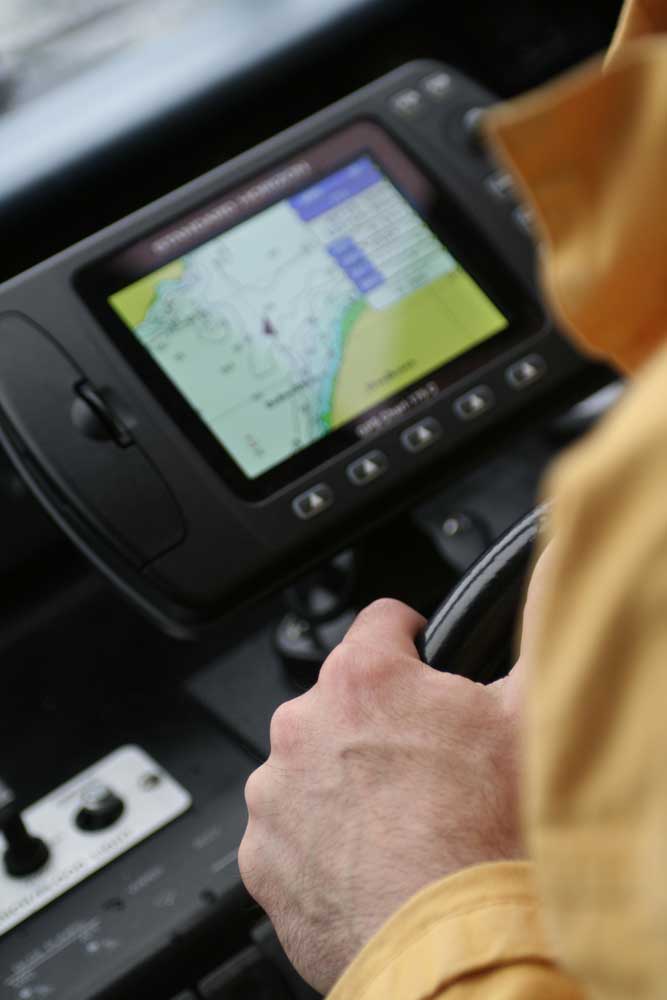
Marine navigation
How to Choose The Best Boat GPS App
Chart Data
It is critical to seek out a boat GPS application that furnishes accurate chart data from dependable sources.
Ease of Use
How beneficial is a navigation app if it’s challenging to use? You must look for an app that has an easy user interface and be able to speedily set up your system.
Offline Chart Availability
Looking into an app that allows you to store your marine charts offline is essential, ensuring easy access even with a disconnected internet connection.
Flexibility
When looking for the ideal boat GPS app, finding a program that allows personalization is vital. You should be able to modify chart colors and patterns and add data fields according to your preferences.
Automatic Route Planning
This feature will not only calculate distances, times, and fuel consumption. Still, it will also provide a clear overview of the route with an extensive list of waypoints and other crucial navigation details.
Boat with GPS
Sharing & Connectivity
It can sometimes be helpful to collaborate with other drivers by sharing routes. To make this easier, download an app to connect with trusted individuals such as friends, coworkers, and family members.
Tides & Weather forecasting
The perfect app provides reliable tide and weather predictions, helping you plan your route more precisely and make decisions in a timely manner. With this invaluable tool, ensure every voyage is safe and successful!
Summary
When locating the perfect boat GPS app, there is no single answer that suits everyone’s needs. It all boils down to your individual preferences and requirements. Fortunately, any featured options possess excellent navigational capabilities, guaranteeing a safe voyage across waters! If you’re having trouble deciding on an exclusive choice, feel free to reach out.