
About Beidou Satellite Constellation, BeiDou is a Chinese satellite navigation system. Its primary competitor is America’s Global Positioning System (GPS), which only covers about 80 percent of Earth’s surface due to its low orbit above Earth.
By contrast, BeiDou covers about 95 percent of Earth’s surface, making it an attractive alternative to GPS. It also provides greater accuracy because it uses more satellites than GPS.
China now hopes BeiDou will become the dominant standard for location services worldwide.
Table of Contents
- What Is China’s Beidou, and How Does the Beidou Navigation Satellite System Work?
- When was BeiDou released, and how many satellites are in the BeiDou constellation?
- What is the application of the BeiDou navigation satellite system?
- BeiDou Navigation System: Status
- BeiDou Navigation System: Service Performance
- BeiDou Navigation System: Application Promotion
- BeiDou Navigation System: Future Plans
- Is BeiDou Compatible With GPS?
- What Is the Difference Between Gps and Beidou?
- Frequently Asked Questions
- Conclusion
What Is China’s Beidou, and How Does the Beidou Navigation Satellite System Work?
The BeiDou satellite navigation system uses a series of Chinese GNSS, the most popular being BeiDou-1. This autonomous regional satellite navigation system covers China and the surrounding region, including India, Japan, and Southeast Asia.
Initially planned as a standalone regional system to compete with GPS, it has since evolved into a larger constellation that includes MEO satellites (medium earth orbit) and GEO satellites (geostationary).
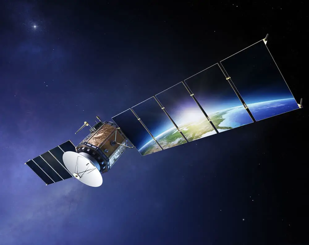
Satellite communications with Earth reflecting on solar panels
When was BeiDou released, and how many satellites are in the BeiDou constellation?
The first generation of the BDS began in 2000 and consisted of three satellites. However, it ceased to function at the end of 2012. The final satellite in the BeiDou-2 constellation became operational in China in 2011, and it has been providing services to consumers in Asia-Pacific since then.
The third generation BeiDou system (BeiDou-3) was set in motion for global coverage in 2015. It has 55 satellites available for use, with plenty currently planned for deployment across 2022 and beyond.
What is the application of the BeiDou navigation satellite system?
In addition to navigation, BDS is also used for mapping, geodesy, and geophysics. BDS widely applies to smart city construction and transportation management in China’s urban areas. For example, the Beijing Environment Sanitation Engineering Group built a BDS-enabled platform to monitor its sanitation vehicles.
It developed a complete online monitoring system for efficient business management and transformation. The Tianjin Mass Transit Railway Automated Control Center also adopted BeiDou modules to improve the accuracy of train positioning information.
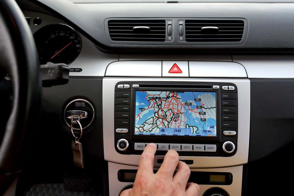
Car dashboard with GPS
BeiDou Navigation System: Status
BeiDou is currently the only GNSS in China. The system has been operating since 2000 but isn’t fully operational. The constellation once consisted of less than ten satellites; today, it has 55 satellites orbiting Earth at an altitude of about 20,200 kilometers (12,600 miles).
At this time, BeiDou covers 70 percent of the world’s land mass and over 95 percent of China’s territory—but it still has many gaps where coverage is unavailable or difficult to obtain.
The BeiDou system can provide positioning accuracy down to 10 meters (33 feet), which makes it comparable with GPS regarding accuracy.
BeiDou Navigation System: Service Performance
You can divide BeiDou’s service performance into regional and global. The BDS-2 system covers over 90% of China and provides positioning error at the centimeter level.
BDS-3 offers a positioning accuracy of 10m with velocity and time accuracies of 0.2 meters per second. Its availability across the world exceeds 95%.
BeiDou Navigation System: Application Promotion
As a result of the user experience promotion event, China’s Ministry of Industry and Information Technology (MIIT) has invited all users worldwide to try out BDS services by taking part in an online survey.
China has helped promote BDS among Arab states, including the China-Arab States BeiDou Cooperation Forum and seminars on GNSS. In doing so, it established a satellite navigation center that serves shared interests in the region’s development.
China has also strengthened Asia’s space science and technology education by establishing the BeiDou International Exchange and Training Center (BICEC), which provides training courses for engineers and technical personnel.

Beidou Satellite Constellation: Communication satellite worldwide satellite transmission
BeiDou Navigation System: Future Plans
Since its launch, the BeiDou-3 satellite navigation system has provided high-quality services to users worldwide. In addition, China has ensured this system’s stability while optimizing its performance and use.
The country plans to launch new satellites to improve the system’s stability, reliability, and technological innovations. Soon, China will launch mobile phones compatible with the BeiDou-3 navigation system.
The new technology redefines what a phone can do and how people use it, enabling better protection of life and property.
China has decided to build a comprehensive national PNT system based on the next-generation BDS by 2035.
Is BeiDou Compatible With GPS?
No, BeiDou is not compatible with GPS, but you can use it in conjunction with GPS. It offers a better alternative to GPS, though the two systems aren’t interchangeable.
The third generation of China’s Beidou Navigation Satellite System provides full global coverage, making it an alternative to Russia’s GLONASS, the US GPS, and Europe’s Galileo positioning systems. In addition, international users can access its high-accuracy positioning, navigation, and timing services. As a result, your phone should get location information almost anywhere on Earth without relying on other technology like Wi-Fi or cellular networks (or even cell towers).
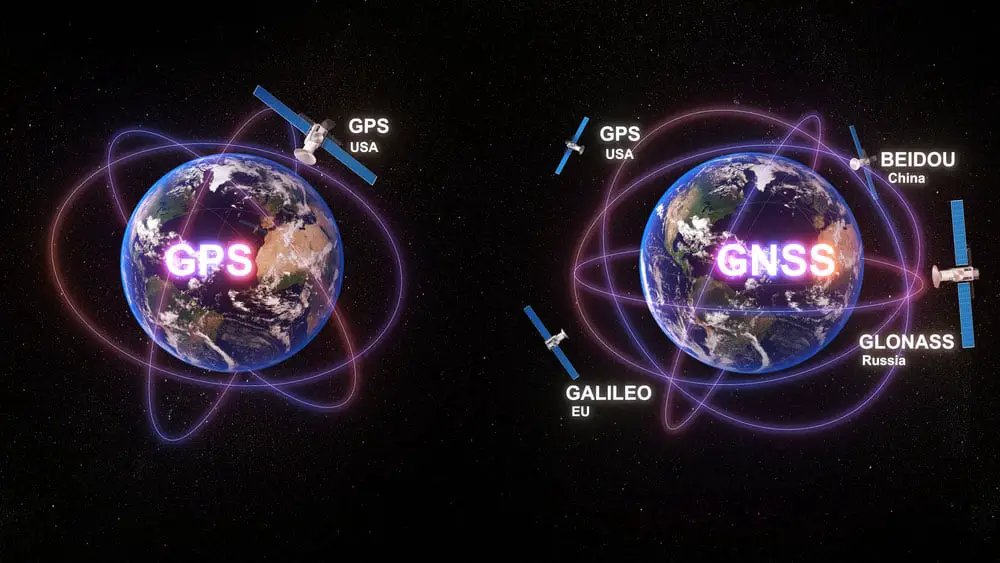
Beidou Satellite Constellation: Communication technology between the GPS and GNSS system
What Is the Difference Between Gps and Beidou?
While GPS and Beidou provide location and time information, they differ in accuracy and availability.
GPS, GLONASS (Russia), and the Galileo system (EU) are primarily used for sending location signals out into space; in contrast, BeiDou employs a two-way communication system that allows satellites to tell receivers their locations.
The two systems also differ in the number of satellites they use. GPS has 31 satellites in orbit; BeiDou has 55 active satellites in orbit as of January 2022.
Frequently Asked Questions
What is BeiDou?
Beidou is a satellite-based navigation system developed by China. It includes a navigation satellite constellation, ground segment, and user terminals. The Beidou constellation operates independently of the U.S.-operated Global Positioning System (GPS), Russia-operated GLONASS, and European Union Galileo satellites.
Where is BeiDou available?
China’s BeiDou system is the most extensive satellite navigation system in the world, covering four continents and regions: Asia, Oceania, Africa, and Europe. It provides worldwide coverage for timing and navigation applications such as transportation and telecommunications.
Can you use BeiDou in the U.S.?
Yes, you can use the BeiDou system in the United States.
Currently, most Android phones have access to the BeiDou system as a navigation option (the exception being phones made by Apple). Unfortunately, iPhones do not list Beidou under their tech specs for navigation systems because it’s not an official supported feature on iOS devices—but this doesn’t mean you can’t use it if you want.
Conclusion
You can use the BeiDou navigation satellite system in many ways. Moreover, the system is accessible in over 30 countries, and over 100 million users have already installed it on their Android mobile phones.
BeiDou navigation satellite system allows for more accessible location services and faster data transfer speeds when traveling abroad. Beidou is also used with GPS to enhance both systems’ accuracy and reliability of satellite location information. So if you are looking for a free and reliable navigation system, consider Beidou.